From Wikipedia, the free encyclopedia
Provincial park in British Columbia, Canada
| Codville Lagoon Marine Provincial Park | |
|---|---|
 Codville Lagoon Marine Provincial Park | |
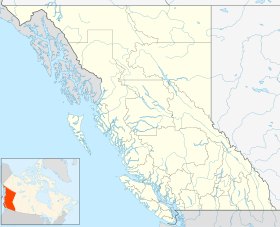
| Location | Central Coast RD, British Columbia |
| Nearest city | Bella Bella |
| Coordinates | 52°03′40″N 127°50′30″W / 52.06111°N 127.84167°W / 52.06111; -127.84167 |
| Area | 860 ha (2,100 acres) |
| Created | 16 September 1992 |
| Governing body | BC Parks |
| Website | BC Parks Codville Lagoon |

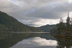
Codville Lagoon Marine Provincial Park is a provincial park in British Columbia, Canada, located on the southwest end of King Island. The park was created in 1965 because it is a significant site to the Heiltsuk People. This park, which is approximately 755 ha. in area, has an unmaintained trail to Sagar Lake which has a red sand beach. Created in 1992, it was expanded in 1995 by the incorporation of the former Sugar Lake Provincial Park. [2]
References
- ^ "Codville Lagoon Marine Park". Protected Planet. Retrieved 2020-09-16.
- ^ Jamieson, G. S.; Lessard, Joanne; Canada, National Research Council (2000). Marine Protected Areas and Fishery Closures in British Columbia. NRC Research Press. ISBN 978-0-660-17788-5.
External links
- BC Parks page for Codville Lagoon
- A Kayaking trip visits Codville Lagoon
- "Codville Lagoon Marine Park". BC Geographical Names.
|
| This British Columbia protected areas related article is a stub. You can help Wikipedia by expanding it. |
