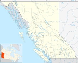
| Memory Island Provincial Park | |
|---|---|
Location in
British Columbia Location in
Cowichan Valley Regional District | |
| Location | Shawnigan Lake, British Columbia, Canada |
| Nearest city | Shawnigan Lake |
| Coordinates | 48°36′50″N 123°38′00″W / 48.61389°N 123.63333°W |
| Area | 0.915 ha (2.26 acres) |
| Established | 23 August 1945 |
| Governing body | BC Parks |
| Memory Island Provincial Park | |
Memory Island Provincial Park is a provincial park located on Vancouver Island in British Columbia, Canada. It was established by BC Parks on 23 August 1945 to protect a small island located at the southern end of Shawnigan Lake.
Name origin
It was named as a memorial to two Victoria men - Allan Mayhew and Kenneth Scharff - who lost their lives in World War II. [2]: 171
Geography
Covering only 0.915 hectares (2.26 acres), Memory Island is the second smallest provincial park in British Columbia after Seton Portage Historic Provincial Park. [3] [4]
References
- ^ "Protected Planet | Memory Island Park". Protected Planet. Retrieved 2020-10-10.
- ^ Akrigg, G.P.V.; Akrigg, Helen B. (1986), British Columbia Place Names (3rd, 1997 ed.), Vancouver: UBC Press, ISBN 0-7748-0636-2
- ^ "Memory Island Park". BC Geographical Names.
- ^ Environment, Ministry of. "About BC Parks - BC Parks - Province of British Columbia". bcparks.ca. Retrieved 2020-10-11.

