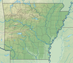
| Withrow Springs State Park | |
|---|---|
 | |
| Location | Madison County, Arkansas, United States |
| Coordinates | 36°09′19″N 93°43′59″W / 36.15528°N 93.73306°W [1] |
| Area | 786 acres (318 ha) |
| Elevation | 1,375 feet (419 m) [1] |
| Established | 1965 |
| Administered by | Arkansas Department of Parks, Heritage, and Tourism |
| Designation | Arkansas state park |
| Website | Withrow Springs State Park |
Withrow Springs State Park is a 786-acre (318 ha) public recreation area with campgrounds and hiking trails located five miles (8.0 km) north of Huntsville, Arkansas, that serves as a put-in for float trips on War Eagle Creek. [2] [3]
References
- ^ a b "Withrow Springs State Park". Geographic Names Information System. United States Geological Survey, United States Department of the Interior.
- ^ Withrow Springs State Park Brochure (PDF). Arkansas Department of Parks & Tourism. 2017. Retrieved March 15, 2021.
- ^ Staff (January 2, 2020). "Withrow Springs State Park". Encyclopedia of Arkansas History and Culture. Butler Center for Arkansas Studies at the Central Arkansas Library System. Retrieved March 15, 2021.
External links
- Withrow Springs State Park Arkansas State Parks
