You can help expand this article with text translated from
the corresponding article in Spanish. (July 2009) Click [show] for important translation instructions.
|
Rascafría | |
|---|---|
 Town Hall. | |
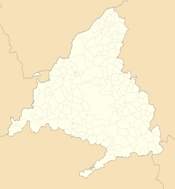
 Municipal location within the Community of Madrid. | |
| Coordinates: 40°54′17″N 3°52′46″W / 40.90472°N 3.87944°W | |
| Country | |
| Autonomous community | Community of Madrid |
| Province | Madrid |
| Government | |
| • Mayor | Yolanda Aguirre Gómez |
| Area | |
| • Total | 150.27 km2 (58.02 sq mi) |
| Elevation | 1,163 m (3,816 ft) |
| Population (2018)
[1] | |
| • Total | 1,663 |
| • Density | 11/km2 (29/sq mi) |
| Demonym | Rascafrienses |
| Time zone | UTC+1 ( CET) |
| • Summer ( DST) | UTC+2 ( CEST) |
| Website | www.rascafria.org |
Rascafría is a municipality of the Community of Madrid, Spain. In 2022 it had a population of 1,736. [2]
In its territory is the Monastery of Santa Maria de El Paular and the hamlet of Oteruelo del Valle.
Transport system
The only way to arrive to Rascafría is with bus lines 194 and 194A.
References
- ^ Municipal Register of Spain 2018. National Statistics Institute.
- ^ "Madrid: Población por municipios y sexo. (2881)". INE (in Spanish). Retrieved 2023-10-11.


