From Wikipedia, the free encyclopedia
Airport
Teply Klyuch Airport Аэропорт Теплый Ключ | |||||||||||
|---|---|---|---|---|---|---|---|---|---|---|---|
| Summary | |||||||||||
| Airport type | Public | ||||||||||
| Serves | Khandyga, Tomponsky District, Sakha Republic, Russia | ||||||||||
| Elevation AMSL | 282 m / 925 ft | ||||||||||
| Coordinates | 62°47′10″N 136°50′32″E / 62.78611°N 136.84222°E / 62.78611; 136.84222 | ||||||||||
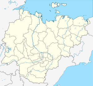
| Maps | |||||||||||
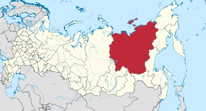
 Sakha Republic in Russia | |||||||||||
| Runways | |||||||||||
| |||||||||||
Teply Klyuch Airport ( Russian: Аэропорт Теплый Ключ) ( IATA: KDY, ICAO: UEMH) is an airport serving the urban locality of Khandyga, Tomponsky District, in the Sakha Republic of Russia.
External links
References
- ^ Airport information for KDY at Great Circle Mapper.
- ^ Airport information for Teply Klyuch Airport at Transport Search website.
|
| This article about an airport in Russia is a stub. You can help Wikipedia by expanding it. |
Retrieved from "
https://en.wikipedia.org/?title=Teply_Klyuch_Airport&oldid=1133837028"
