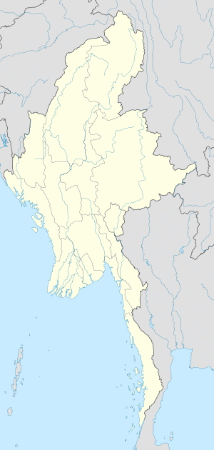
| Sahmaw Airfield | |
|---|---|
| Part of Tenth Air Force | |
| Sahmaw, Burma | |
| Coordinates | 25°13′37″N 096°47′39″E / 25.22694°N 96.79417°E (Approximate) |
| Type | Military airfield |
| Site information | |
| Controlled by | United States Army Air Forces |
| Site history | |
| Built | 1944 |
| In use | 1944-1945 |
| Battles/wars | Burma Campaign 1944-1945 |
Sahmaw is a town in Kachin State, Myanmar. [1]
Second World War
During the Burma Campaign 1944-1945 in the Second World War, Sahmaw was the site of a United States Army Air Forces airfield, now abandoned.
The airfield was a temporary combat airfield used by the 33d Fighter Group between 26 December 1944 and 4 May 1945, flying P-47 Thunderbolts and P-38 Lightnings. It was also used by the 71st Liaison Squadron, between 15 October and 16 January 1945, flying L-4 Piper Cubs and UC-64A Norseman light aircraft.
After the Americans moved out, the airfield was abandoned and was returned to agricultural use.[ citation needed]
Sahmaw was a part of the Jeep Railway, a system of trains consisting of jeeps fitted with railway wheels and running on tracks, organized by the 36th Infantry Division of the British Army during the Burma Campaign. [2]
References
![]() This article incorporates
public domain material from the
Air Force Historical Research Agency
This article incorporates
public domain material from the
Air Force Historical Research Agency
- Maurer, Maurer. Air Force Combat Units Of World War II. Maxwell Air Force Base, Alabama: Office of Air Force History, 1983. ISBN 0-89201-092-4
- www.pacificwrecks.com - Sahmaw keyword search
External links


