Latina Airport Aeroporto di Latina | |||||||||||
|---|---|---|---|---|---|---|---|---|---|---|---|
 | |||||||||||
| Summary | |||||||||||
| Airport type | Military | ||||||||||
| Operator | Aeronautica Militare Italiana | ||||||||||
| Location | Latina, Lazio | ||||||||||
| Elevation AMSL | 93 ft / 28 m | ||||||||||
| Coordinates | 41°32′32″N 012°54′32″E / 41.54222°N 12.90889°E | ||||||||||
| Map | |||||||||||
| Runways | |||||||||||
| |||||||||||

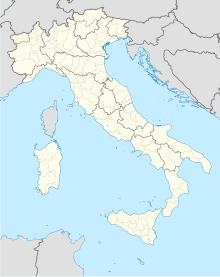
Latina Airport ( Italian: Aeroporto di Latina) ( ICAO: LIRL) is a military airport located near Latina, [1] a city in the Lazio region of central Italy. The airport is approximately 9 km (5 NM) north of Latina. It is also known as Enrico Comani Airport, named after Enrico Comani, an Italian aviator.
The airport is home to the 70th Wing ( 70° Stormo) of Italian Air Force (Aeronautica Militare Italiana).
Facilities
The airport resides at an elevation of 93 feet (28 m) above mean sea level. It has one runway designated 12/30 with an asphalt surface measuring 1,700 by 40 metres (5,577 ft × 131 ft). [1]
References
- ^ a b c Airport information for LIRL [usurped] from DAFIF (effective October 2006)
- ^ Airport information for QLT at Great Circle Mapper. Source: DAFIF (effective October 2006).
External links
