| Inuksuk Point | |
|---|---|
| Native name Inuktitut: Inuksugalait | |
| Enukso Point | |
 Inuksuit at the Inuksuk Point | |
| Type | Inuksuit |
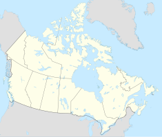
| Location | Nunavut, Canada |
| Nearest city | Kinngait |
| Coordinates | 64°34′N 078°12′W / 64.567°N 78.200°W [1] |
| Established | 23 October 1969 |
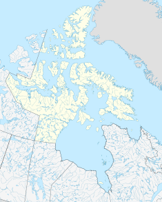
Inuksuk Point (Enukso Point, Inuksugalait) is a small peninsula on Foxe Peninsula, approximately 88.5 km (55.0 mi) from Kinngait (formerly Cape Dorset) on the southwest of Baffin Island in Nunavut, Canada. [2]
This location is renowned due to a group of more than 100 inuksuit - stone cairns built by Inuit. [3] The site has been a National Historic Site of Canada since 23 October 1969. [2] [4]
References
- ^ "Enukso Point". Geographical Names Data Base. Natural Resources Canada.
- ^ a b "Inuksuk National Historic Site of Canada". Directory of Federal Heritage Designations, Parks Canada. Retrieved 22 July 2021.
- ^ Heyes, Scott (2002). "Protecting the authenticity and integrity of inuksuit within the arctic milieu". Études/Inuit/Studies. 26 (2): 133–156. doi: 10.7202/007648ar. ISSN 0701-1008. OCLC 967627557.
- ^ Inuksuk. Canadian Register of Historic Places. Retrieved 30 October 2013.

