From Wikipedia, the free encyclopedia
Lake on Norway/Sweden border
| Holderen | |
|---|---|
| Location |
Snåsa,
Trøndelag and Åre, Jämtland |
| Coordinates | 64°03′48″N 12°53′41″E / 64.0633°N 12.8948°E / 64.0633; 12.8948 |
| Basin countries | Norway and Sweden |
| Max. length | 7.5 kilometres (4.7 mi) |
| Max. width | 2 kilometres (1.2 mi) |
| Surface area | 8.27 km2 (3.19 sq mi) (1.83 km2 (0.71 sq mi) in Norway 6.44 km2 (2.49 sq mi) in Sweden) |
| Shore length1 | 29.63 kilometres (18.41 mi) |
| Surface elevation | 439 metres (1,440 ft) |
| References | NVE |
| 1 Shore length is not a well-defined measure. | |
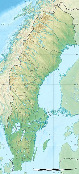
Holderen is a lake on the border between Sweden and Norway. The 1.83-square-kilometre (0.71 sq mi) Norwegian part is located inside Blåfjella–Skjækerfjella National Park in the municipality of Snåsa in Trøndelag county. The 6.44-square-kilometre (2.49 sq mi) Swedish part is located in the municipality of Åre in Jämtland County. The lake lies about 3 kilometres (2 mi) south of the lake Grøningen. [1]
See also
References
- ^ "Holderen" (in Norwegian). yr.no. Retrieved 2011-08-04.
|
| This article related to a lake in Trøndelag in Norway is a stub. You can help Wikipedia by expanding it. |
|
| This article about a location in Jämtland County, Sweden is a stub. You can help Wikipedia by expanding it. |
Retrieved from "
https://en.wikipedia.org/?title=Holderen&oldid=1202075885"


