
Size of this PNG preview of this SVG file:
622 × 599 pixels. Other resolutions:
249 × 240 pixels |
498 × 480 pixels |
797 × 768 pixels |
1,063 × 1,024 pixels |
2,126 × 2,048 pixels |
1,201 × 1,157 pixels.
Original file (SVG file, nominally 1,201 × 1,157 pixels, file size: 811 KB)
| This is a file from the
Wikimedia Commons. Information from its
description page there is shown below. Commons is a freely licensed media file repository. You can help. |
Summary
| Description |
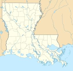
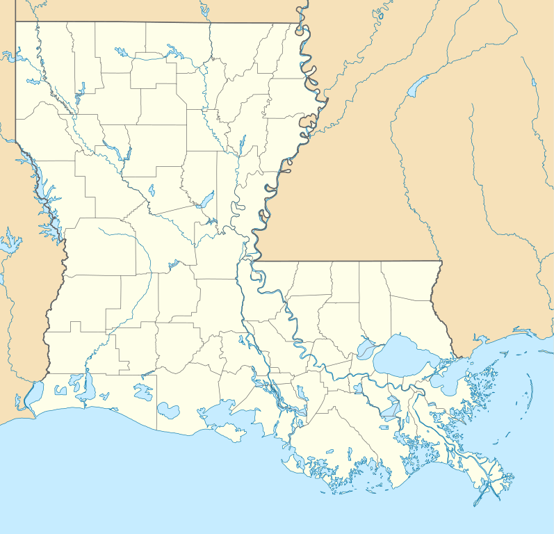
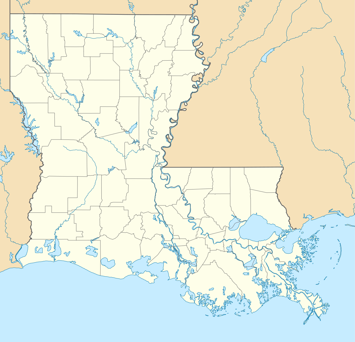
Quadratische Plattkarte, N-S-Streckung 120.0 %. Geographische Begrenzung der Karte:
Equirectangular projection, N/S stretching 120.0 %. Geographic limits of the map:
|
| Date | |
| Source | Own work |
| Author | Alexrk2 |
| Other versions |
Derivative works of this file: |

|
This map has been made or improved in the German
Kartenwerkstatt (Map Lab). You can
propose maps to improve as well.
|
Licensing
I, the copyright holder of this work, hereby publish it under the following licenses:

|
Permission is granted to copy, distribute and/or modify this document under the terms of the GNU Free Documentation License, Version 1.2 or any later version published by the Free Software Foundation; with no Invariant Sections, no Front-Cover Texts, and no Back-Cover Texts. A copy of the license is included in the section entitled GNU Free Documentation License. |
This file is licensed under the
Creative Commons
Attribution 3.0 Unported license.
- You are free:
- to share – to copy, distribute and transmit the work
- to remix – to adapt the work
- Under the following conditions:
- attribution – You must give appropriate credit, provide a link to the license, and indicate if changes were made. You may do so in any reasonable manner, but not in any way that suggests the licensor endorses you or your use.
You may select the license of your choice.
File history
Click on a date/time to view the file as it appeared at that time.
| Date/Time | Thumbnail | Dimensions | User | Comment | |
|---|---|---|---|---|---|
| current | 14:38, 7 July 2009 |
| 1,201 × 1,157 (811 KB) | Alexrk2 | == Beschreibung == {{Information |Description= {{de|Positionskarte von Louisiana, USA}} Quadratische Plattkarte, N-S-Streckung 120.0 %. Geographische Begrenzung der Karte: * N: 33.2° N * S: 28.7° N * W: 94.2° W * O: 88.6° |
File usage
More than 100 pages use this file. The following list shows the first 100 pages that use this file only. A full list is available.
- Ama, Louisiana
- Amelia, Louisiana
- Athens, Louisiana
- Avondale, Louisiana
- Baker, Louisiana
- Barataria, Louisiana
- Bastrop, Louisiana
- Bayou Cane, Louisiana
- Bayou Gauche, Louisiana
- Bayou Vista, Louisiana
- Belle Chasse, Louisiana
- Belle Rose, Louisiana
- Boothville-Venice, Louisiana
- Boutte, Louisiana
- Bridge City, Louisiana
- Brownsville-Bawcomville, Louisiana
- Buras-Triumph, Louisiana
- Cameron, Louisiana
- Carlyss, Louisiana
- Cecilia, Louisiana
- Chackbay, Louisiana
- Charenton, Louisiana
- Chauvin, Louisiana
- Claiborne, Louisiana
- Clarence, Louisiana
- Colfax, Louisiana
- Converse, Louisiana
- Cut Off, Louisiana
- Destrehan, Louisiana
- Deville, Louisiana
- Dulac, Louisiana
- Eastwood, Louisiana
- Eden Isle, Louisiana
- Edgard, Louisiana
- Elmwood, Louisiana
- Empire, Louisiana
- Estelle, Louisiana
- Ferriday, Louisiana
- French Quarter
- Galliano, Louisiana
- Garyville, Louisiana
- Grambling, Louisiana
- Hackberry, Louisiana
- Hahnville, Louisiana
- Harvey, Louisiana
- Jefferson, Louisiana
- Jonesboro, Louisiana
- Killona, Louisiana
- LaPlace, Louisiana
- Labadieville, Louisiana
- Lacombe, Louisiana
- Lafitte, Louisiana
- Larose, Louisiana
- Livingston, Louisiana
- Luling, Louisiana
- Lydia, Louisiana
- Madisonville, Louisiana
- Mansfield, Louisiana
- Marksville, Louisiana
- Marrero, Louisiana
- Mathews, Louisiana
- Metairie, Louisiana
- Midway, LaSalle Parish, Louisiana
- Montz, Louisiana
- Moss Bluff, Louisiana
- Napoleonville, Louisiana
- Natalbany, Louisiana
- Natchez, Louisiana
- Natchitoches, Louisiana
- New Iberia, Louisiana
- New Sarpy, Louisiana
- Norco, Louisiana
- North Vacherie, Louisiana
- Oakdale, Louisiana
- Paincourtville, Louisiana
- Paradis, Louisiana
- Parks, Louisiana
- Pierre Part, Louisiana
- Port Sulphur, Louisiana
- Powhatan, Louisiana
- Prien, Louisiana
- Raceland, Louisiana
- Red Chute, Louisiana
- Reserve, Louisiana
- River Ridge, Louisiana
- Robeline, Louisiana
- Ruston, Louisiana
- Slidell, Louisiana
- South Vacherie, Louisiana
- St. Rose, Louisiana
- Sulphur, Louisiana
- Supreme, Louisiana
- Taft, Louisiana
- Tallulah, Louisiana
- Terrytown, Louisiana
- Timberlane, Louisiana
- Vidalia, Louisiana
- Waggaman, Louisiana
- Wallace, Louisiana
- West Ferriday, Louisiana
View more links to this file.
Global file usage
The following other wikis use this file:
- Usage on an.wikipedia.org
- Usage on ar.wikipedia.org
- Usage on ast.wikipedia.org
- Usage on azb.wikipedia.org
- بووژر، لوئیزیانا
- باتونروژ، لوئیزیانا
- هوما، لوئیزیانا
- نووا آیبیریا، لوئیزیانا
- لیک چارلز، لوئیزیانا
- راستن، لوئیزیانا
- مارکسویل، لوئیزیانا
- الکساندریا، لوئیزیانا
- اسلایدل، لوئیزیانا
- ویدیلیا، لوئیزیانا
- منسفیلد، لوئیزیانا
- بیکر، لوئیزیانا
- نکیتاش، لوئیزیانا
- لافایت، لوئیزیانا
- منروو، لوئیزیانا
- قرامبلینق، لوئیزیانا
- نیو اورلئان دؤیوشو
- بلمانت، لوئیزیانا
- باکومویل، لوئیزیانا
- بایو قولا، لوئیزیانا
- سینت ماریس، لوئیزیانا
- دری، لوئیزیانا
- فیرویو آلفا، لوئیزیانا
- قرند اکور، لوئیزیانا
- کارلایل، لوئیزیانا
- لیک اند، لوئیزیانا
- فیشویل، لوئیزیانا
- چاپین، لوئیزیانا
- فلورا، لوئیزیانا
- اکمی، لوئیزیانا
- وردا، لوئیزیانا
- کرفت، لوئیزیانا
- پلژر بند، لوئیزیانا
- لیمنویل، لوئیزیانا
- اروینویل، لوئیزیانا
- لافورش کراسینق، لوئیزیانا
- مونشاین، لوئیزیانا
- پرسکیل، لوئیزیانا
- بایو کانتری کلاب، لوئیزیانا
- رومویل، لوئیزیانا
- وینا بند، لوئیزیانا
- بایو بلو، لوئیزیانا
- لاوتل، لوئیزیانا
View more global usage of this file.