
Size of this preview:
800 × 600 pixels. Other resolutions:
320 × 240 pixels |
640 × 480 pixels |
1,024 × 768 pixels |
1,280 × 960 pixels |
2,560 × 1,920 pixels |
4,032 × 3,024 pixels.
Original file (4,032 × 3,024 pixels, file size: 1.12 MB, MIME type: image/jpeg)
| This is a file from the
Wikimedia Commons. Information from its
description page there is shown below. Commons is a freely licensed media file repository. You can help. |
Summary
| Description |
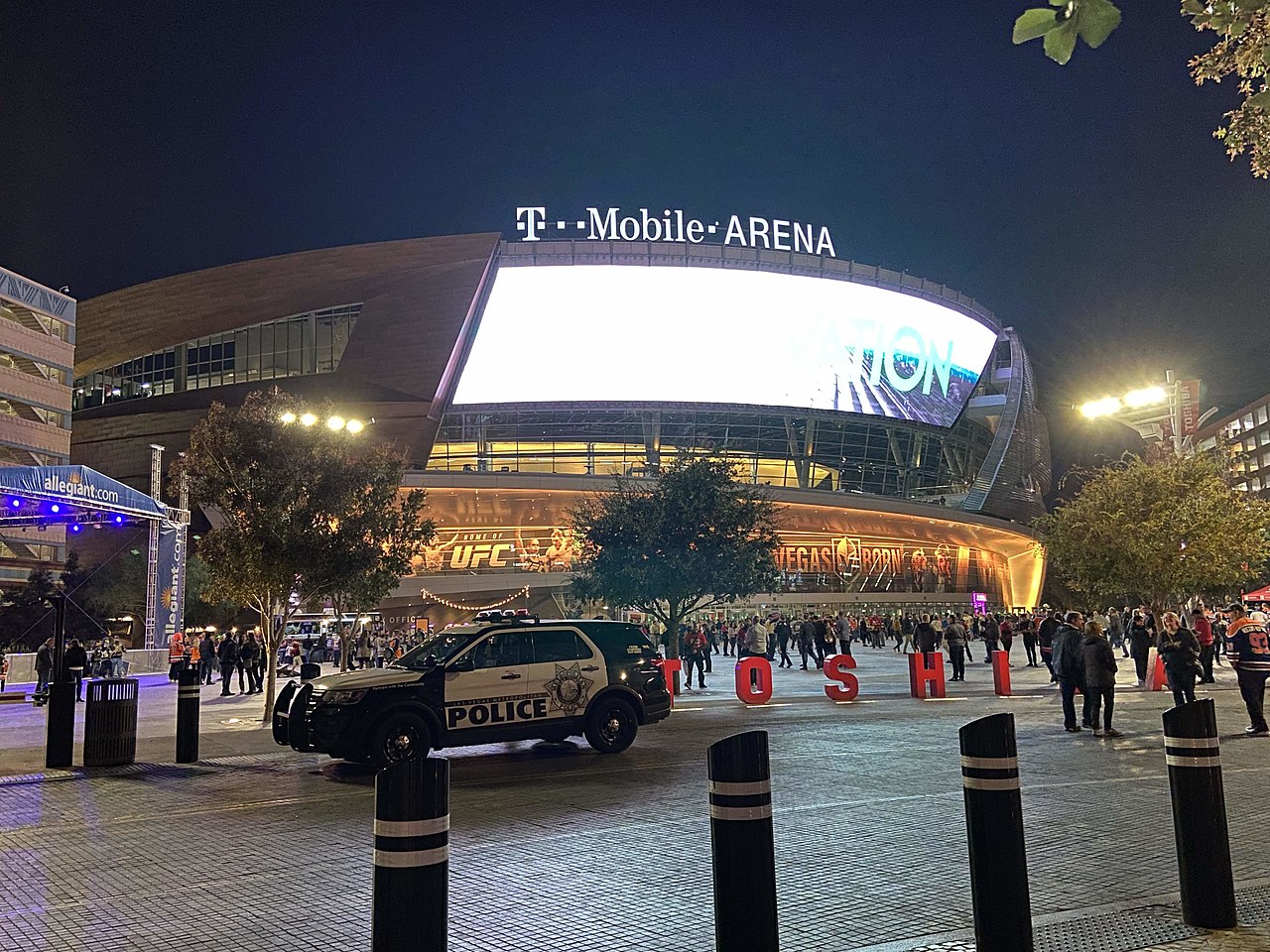
English: Front entrance of T-Mobile Arena. |
| Date | |
| Source | Own work |
| Author | CrispyCream27 |
| Camera location | | View this and other nearby images on: OpenStreetMap |
|
|---|
Licensing
I, the copyright holder of this work, hereby publish it under the following license:
This file is licensed under the
Creative Commons
Attribution-Share Alike 4.0 International license.
- You are free:
- to share – to copy, distribute and transmit the work
- to remix – to adapt the work
- Under the following conditions:
- attribution – You must give appropriate credit, provide a link to the license, and indicate if changes were made. You may do so in any reasonable manner, but not in any way that suggests the licensor endorses you or your use.
- share alike – If you remix, transform, or build upon the material, you must distribute your contributions under the same or compatible license as the original.
File history
Click on a date/time to view the file as it appeared at that time.
| Date/Time | Thumbnail | Dimensions | User | Comment | |
|---|---|---|---|---|---|
| current | 00:02, 25 November 2019 |
| 4,032 × 3,024 (1.12 MB) | Troutfarm27 | updated 2019 |
| 23:49, 7 January 2018 |
 | 4,032 × 3,024 (1.29 MB) | Troutfarm27 | User created page with UploadWizard |
File usage
The following pages on the English Wikipedia use this file (pages on other projects are not listed):
- College of Southern Nevada
- Fabulous Sin City Roller Derby
- Henderson Silver Knights
- Las Vegas Aces
- Las Vegas Aviators
- Las Vegas Blackjacks RFC
- Las Vegas Desert Dogs
- Las Vegas Legends
- Las Vegas Lights FC
- Las Vegas Mobsters
- Las Vegas Raiders
- Las Vegas Showgirlz
- Las Vegas Stars (IBL)
- Las Vegas Strikers
- Las Vegas Thunderbirds
- Miss USA 2016
- NBA G League Ignite
- Nevada
- Nevada Wolf Pack
- Nevada Wonders
- Northern Nevada Aces
- Oakland Athletics relocation to Las Vegas
- Reno Aces
- Reno Silver Sox (Golden Baseball League)
- Silver State Legacy
- Sports in the Las Vegas metropolitan area
- T-Mobile Arena
- Tahoe Knight Monsters
- Timeline of Las Vegas
- UNLV Rebels
- Vegas Golden Knights
- Vegas Knight Hawks
- Vegas Rollers
- Vegas Thrill
- Western Nevada College
- User:Stolilv87/Sandbox/Las Vegas Wranglers
- Template:Nevada Sports
Global file usage
The following other wikis use this file:
- Usage on fa.wikipedia.org
- Usage on he.wikipedia.org
- Usage on nl.wikipedia.org
- Usage on ru.wikipedia.org
- Usage on uk.wikipedia.org