
Size of this preview:
800 × 397 pixels. Other resolutions:
320 × 159 pixels |
640 × 318 pixels |
1,024 × 508 pixels |
1,550 × 769 pixels.
Original file (1,550 × 769 pixels, file size: 275 KB, MIME type: image/jpeg)
| This is a file from the
Wikimedia Commons. Information from its
description page there is shown below. Commons is a freely licensed media file repository. You can help. |
.jpg)
Summary
| Description |
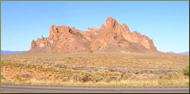
English: (1 in a multiple picture set) The drive north from Gallup, NM to Mesa Verde was a joy in itself. There were all kinds of interesting formations along the highway. |
| Date | |
| Source | https://www.flickr.com/photos/23155134@N06/8639991371/ |
| Author | inkknife_2000 (7.5 million views +) |
| Permission ( Reusing this file) |
At the time of upload, the image license was automatically confirmed using the Flickr API. For more information see Flickr API detail. |
| Flickr sets |
|
| Flickr pools |
|
| Flickr tags |
|
| Camera location |
| View this and other nearby images on: OpenStreetMap |
|
|---|
.jpg¶ms=036.339465_N_-108.748168_E_globe:Earth_type:camera__&language=en)
Licensing
This file is licensed under the
Creative Commons
Attribution-Share Alike 2.0 Generic license.
- You are free:
- to share – to copy, distribute and transmit the work
- to remix – to adapt the work
- Under the following conditions:
- attribution – You must give appropriate credit, provide a link to the license, and indicate if changes were made. You may do so in any reasonable manner, but not in any way that suggests the licensor endorses you or your use.
- share alike – If you remix, transform, or build upon the material, you must distribute your contributions under the same or compatible license as the original.
| This image was originally posted to Flickr by inkknife_2000 (7.5 million views +) at https://flickr.com/photos/23155134@N06/8639991371. It was reviewed on 29 March 2017 by FlickreviewR and was confirmed to be licensed under the terms of the cc-by-sa-2.0. |
File history
Click on a date/time to view the file as it appeared at that time.
| Date/Time | Thumbnail | Dimensions | User | Comment | |
|---|---|---|---|---|---|
| current | 23:32, 29 March 2017 |
| 1,550 × 769 (275 KB) | Fæ | Don Graham, Set 72157627000453181, ID 8639991371, Original title Navajo Nation Formation, Hwy 491, NM 2008b |
File usage
The following pages on the English Wikipedia use this file (pages on other projects are not listed):
Global file usage
The following other wikis use this file:
- Usage on de.wikivoyage.org
.jpg)