
Size of this PNG preview of this SVG file:
492 × 378 pixels. Other resolutions:
313 × 240 pixels |
625 × 480 pixels |
1,000 × 768 pixels |
1,280 × 983 pixels |
2,560 × 1,967 pixels.
Original file (SVG file, nominally 492 × 378 pixels, file size: 436 KB)
| This is a file from the
Wikimedia Commons. Information from its
description page there is shown below. Commons is a freely licensed media file repository. You can help. |
Summary
| Description |
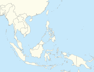
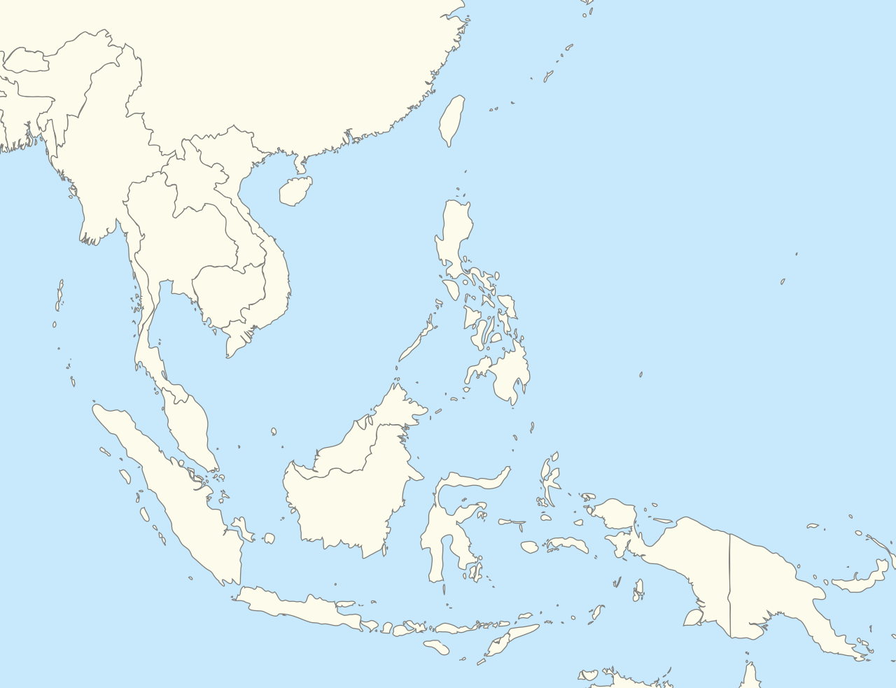
English: Southeast Asia location map |
| Date | |
| Source | Own work |
| Author | Hariboneagle927 |
Licensing
| I, the copyright holder of this work, release this work into the
public domain. This applies worldwide. In some countries this may not be legally possible; if so: I grant anyone the right to use this work for any purpose, without any conditions, unless such conditions are required by law. |
File history
Click on a date/time to view the file as it appeared at that time.
| Date/Time | Thumbnail | Dimensions | User | Comment | |
|---|---|---|---|---|---|
| current | 05:08, 5 December 2014 |
| 492 × 378 (436 KB) | Hariboneagle927 | Expanding top to Shanghai so Myanmar is wholly seen in the map |
| 04:45, 5 December 2014 |
 | 492 × 334 (436 KB) | Hariboneagle927 | User created page with UploadWizard |
File usage
More than 100 pages use this file. The following list shows the first 100 pages that use this file only. A full list is available.
- ASEAN Para Games
- Adisutjipto Airport
- Alor Setar
- Anak Bukit
- Biak
- Bird's Head Peninsula
- Brunei International Airport
- Bukit Kayu Hitam
- Buôn Ma Thuột
- Bắc Giang
- Cam Ranh
- Celebes Sea
- Changlun
- Chiang Rai
- Chukai
- Da Lat
- Da Nang International Airport
- Denpasar
- Dili
- Ho Chi Minh City
- Hsinchu Airport
- Hualien Airport
- Huế
- Hà Tĩnh
- Jakarta
- Jerudong Park
- Jitra
- Johor Bahru
- Kalayaan, Palawan
- Kangar
- Kaohsiung International Airport
- Klang (city)
- Kota Bharu
- Kota Kinabalu
- Kota Kinabalu International Airport
- Kuala Kangsar (town)
- Kuala Lipis
- Kuala Lumpur
- Kuala Lumpur International Airport
- Kuala Selangor
- Kuala Terengganu
- Kualanamu International Airport
- Kuantan
- Kuching
- Kuching International Airport
- Langkawi International Airport
- Long Thanh International Airport
- Luzon Strait
- Lạng Sơn
- Makassar Strait
- Manado
- Maritime Southeast Asia
- Masjid Tanah
- Mỹ Tho
- Nha Trang
- Ninoy Aquino International Airport
- Noi Bai International Airport
- Padang Besar, Malaysia
- Palauan language
- Palu'e language
- Pangkor Island
- Pasir Gudang
- Penang International Airport
- Petaling Jaya
- Phan Rang–Tháp Chàm
- Phan Thiết
- Phuket International Airport
- Portuguese-based creole languages
- Presidente Nicolau Lobato International Airport
- Quảng Ngãi
- SEA Games
- Sam Ratulangi International Airport
- Sarikei
- Scarborough Shoal
- Seletar Airport
- Senai International Airport
- Shah Alam
- Sibu
- Sitiawan
- Slim River
- Songshan Airport
- Sonsorolese language
- South China Sea
- Southeast Asia
- Subang Jaya
- Sultan Abdul Aziz Shah Airport
- Sulu Sea
- Sungai Petani
- Suvarnabhumi Airport
- Svay Pak
- Sơn La
- Taiping, Perak
- Tan Son Nhat International Airport
- Tanjong Malim
- Tawau Airport
- Teluk Intan
- Thủ Dầu Một
- Tobian language
- Yangon
- Yapese language
View more links to this file.
Global file usage
The following other wikis use this file:
- Usage on ar.wikipedia.org
- Usage on azb.wikipedia.org
- Usage on ban.wikipedia.org
- Usage on bcl.wikipedia.org
- Usage on blk.wikipedia.org
- Usage on bn.wikipedia.org
- Usage on ceb.wikipedia.org
- Usage on de.wikipedia.org
- Usage on fa.wikipedia.org
- Usage on fr.wikipedia.org
- Usage on hu.wiktionary.org
- Usage on id.wikipedia.org
View more global usage of this file.