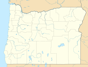
| Wenaha Wildlife Area | |
|---|---|
IUCN category V (protected landscape/seascape) | |
 Two
mule deer in Wenaha Wildlife Area | |
| Location | Wallowa County, Oregon |
| Nearest city | Troy |
| Coordinates | 45°54′20″N 117°31′11″W / 45.905688°N 117.519772°W [1] |
| Area | 12,419 acres (5,026 ha) |
| Governing body | Oregon Department of Fish and Wildlife |
|
www | |
Wenaha Wildlife Area is a 12,419-acre (5,026 ha) wildlife area near Troy, Oregon. It is operated by the Oregon Department of Fish and Wildlife. The area is bordered by Umatilla National Forest. Wildlife visible in the park includes bald eagles, bears, bighorn sheep, bobcats, elk, mule deer, and wild turkey. [2]
References
- ^ Google (2011-11-04). "Wenaha Wildlife Area" (Map). Google Maps. Google. Retrieved 2011-11-04.
- ^ Oregon Department of Fish and Wildlife. "ODFW: Wenaha Wildlife Area". Oregon Department of Fish and Wildlife. Retrieved 2011-11-05.
