State Route 401 | ||||
|---|---|---|---|---|
 SR 401 is highlighted in red. | ||||
| Route information | ||||
| Maintained by WSDOT | ||||
| Length | 12.13 mi [1] (19.52 km) | |||
| Existed | 1964 [2]–present | |||
| Tourist routes | ||||
| Major junctions | ||||
| South end | ||||
| North end | ||||
| Location | ||||
| Country | United States | |||
| State | Washington | |||
| Highway system | ||||
| ||||

State Route 401 (SR 401) is a 12.13-mile (19.52 km) long state highway in Pacific County within the U.S. state of Washington. The highway originates at the north end of the Astoria–Megler Bridge west of Megler at an intersection with U.S. Route 101 (US 101). The roadway travels northeast, paralleling cliffs, the Columbia River and the South Fork of the Naselle River to Naselle, ending at SR 4. The road was designated Secondary State Highway 12B (SSH 12) between 1937 and 1964, when SR 401 was created to replace SSH 12B. The Astoria–Megler Bridge, completed in 1966, replaced a ferry east of the bridge, where the highway originally ended, and is known locally as Kingston Ferry Road. The roadway was extended west to the north end of the bridge, where it currently terminates. The former ferry terminal became the Dismal Nitch rest area, named after the Lewis and Clark Expedition's description of the place.
Route description

SR 401 originates at an intersection with U.S. Route 101 (US 101) at the north end of the Astoria–Megler Bridge west of Megler and southeast of McGowan. Traveling northeast between cliffs and the Columbia River past the Dismal Nitch Safety rest area to Knappton, [1] the highway turns north along more cliffs and the South Fork of the Naselle River. In Naselle, the South Fork merges with the Naselle River, which the roadway crosses over three times before terminating at SR 4. [3] [4] [5] The intersection with SR 4 is also the busiest segment of the road with an estimated daily average of 2,800 motorists, [6] which has been decreasing from 3,100 motorists in 2005. [7]

History

Secondary State Highway 12B (SSH 12B) was created during the 1937 establishment of the Primary and secondary state highway system as an auxiliary route of Primary State Highway 12 (PSH 12), co-signed as both U.S. Route 101 (US 101) and US 830. The highway ran from PSH 12 / US 101 at the Megler ferry landing on the Columbia River to PSH 12 / US 830 in Naselle, with a gap between Megler and Knappton. [8] [9] [10] The full highway was opened in October 1962, ahead of the expected completion of the Astoria–Megler Bridge, which opened in 1966. [11] [12]
SSH 12B became SR 401 during the 1964 highway renumbering. [13] [14] The Dismal Nitch Safety rest area, formerly the Megler Landing Rest Area, was remodeled twice in 2007 to be accessible year-round. [15] [16] [17]
Major intersections
The entire highway is in Pacific County.
| Location | mi [1] | km | Destinations | Notes | |
|---|---|---|---|---|---|
| Megler | 0.00 | 0.00 | Southern terminus | ||
| Naselle | 12.13 | 19.52 | Northern terminus | ||
| 1.000 mi = 1.609 km; 1.000 km = 0.621 mi | |||||
References
- ^ a b c Washington State Department of Transportation (2008). "State Highway Log: Planning Report, SR 2 to SR 971" (PDF). Retrieved August 23, 2009.
- ^ Washington State Legislature (1970). "RCW 47.17.580: State route No. 401". Retrieved August 23, 2009.
- ^ Google (August 23, 2009). "State Route 401" (Map). Google Maps. Google. Retrieved August 23, 2009.
- ^ Washington State Highways, 2008–2009 (PDF) (Map) (2008–09 ed.). 1:842,000. Cartography by United States Geological Survey. Washington State Department of Transportation. 2008. § G2. Retrieved August 23, 2009.
- ^ Pacific Northwest: Washington, Oregon, Western Idaho, Southwestern British Columbia (Map) (6th ed.). 1 inch = 7.5 miles. The Thomas Guide. Cartography by NAVTEQ. Thomas Bros., Rand McNally. 2004. p. 186. ISBN 0-528-99511-1.
- ^ Washington State Department of Transportation (2008). "2008 Annual Traffic Report" (PDF). Archived from the original (PDF) on June 16, 2010. Retrieved August 23, 2009.
- ^ Washington State Department of Transportation (2005). "2005 Annual Traffic Report" (PDF). Archived from the original (PDF) on June 16, 2010. Retrieved August 23, 2009.
-
^ Washington State Legislature (March 18, 1937). "Chapter 207: Classification of Public Highways".
Session Laws of the State of Washington (1937 ed.). Olympia, Washington: Washington State Legislature. pp. 1008–1009. Retrieved August 23, 2009.
(b) Secondary State Highway No. 12B; beginning at Megler on Primary State Highway No. 12, thence in an easterly and northerly direction to a junction with Primary State Highway No. 12 in the vicinity north of Naselle.
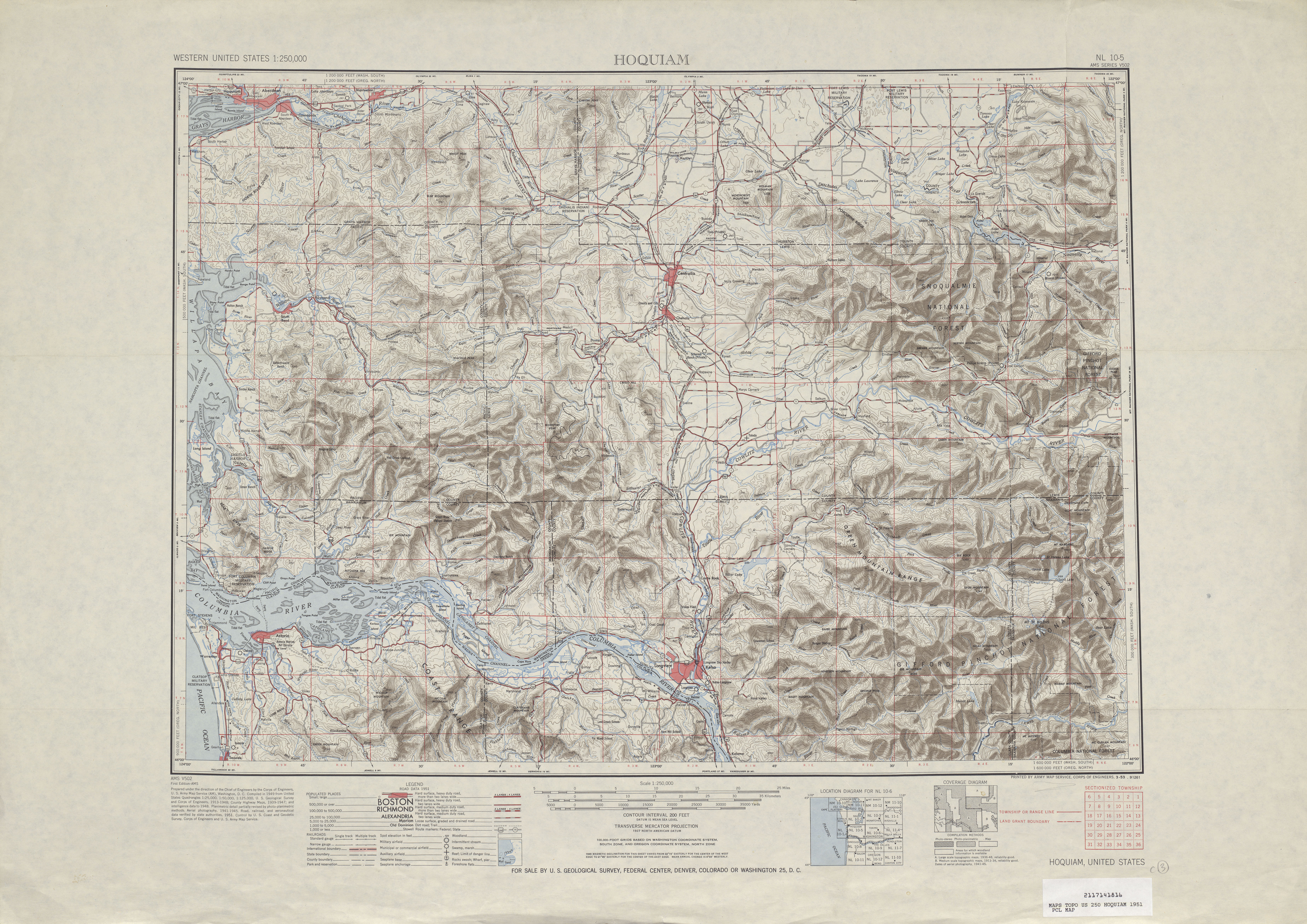
- ^ United States Geological Survey (1951). Hoquiam, 1951 (Map). 1:250,000. University of Texas at Austin. Retrieved August 23, 2009.
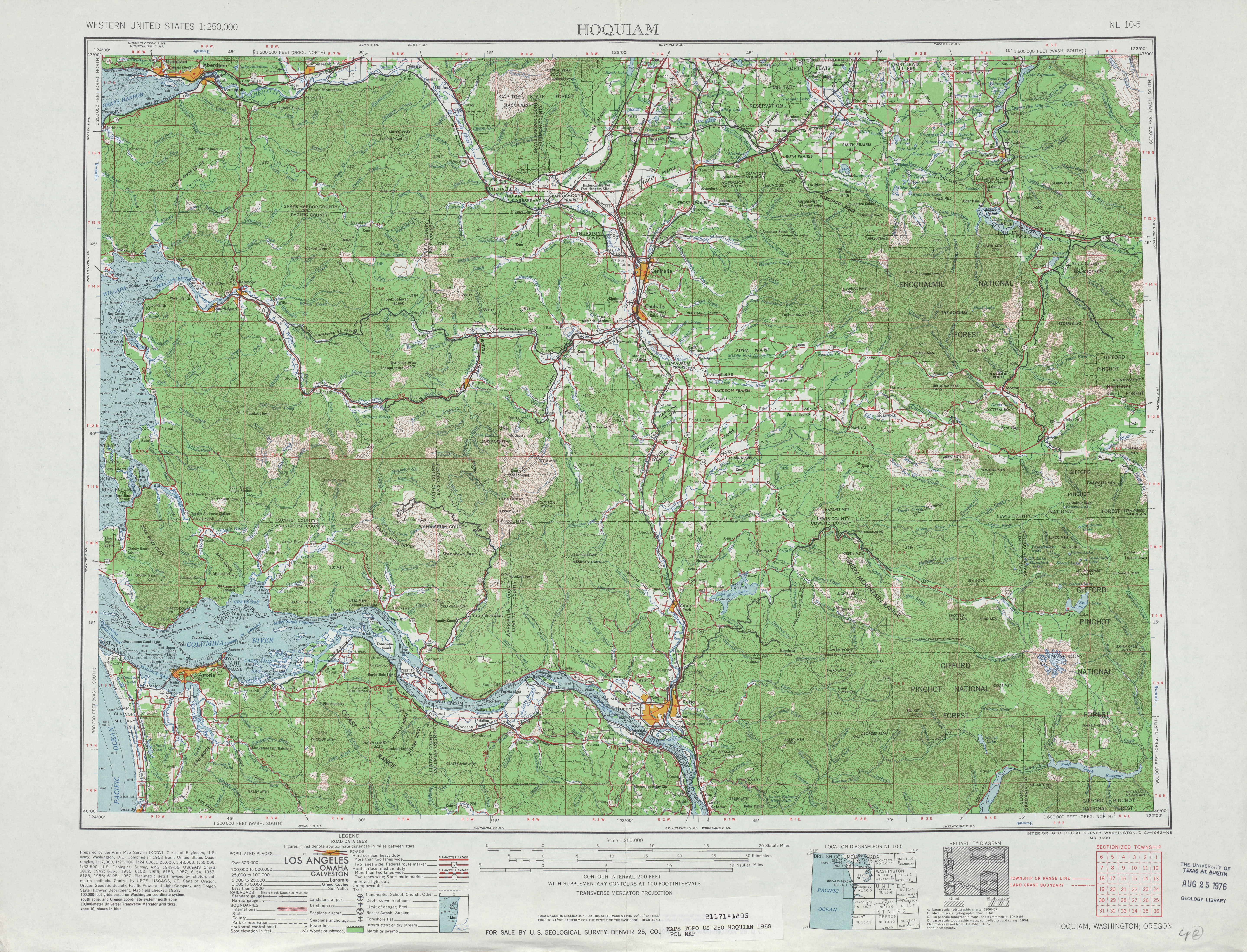
- ^ United States Geological Survey (1958). Hoquiam, 1958 (Map). 1:250,000. University of Texas at Austin. Retrieved August 23, 2009.
- ^ "Southwest Washington Sections to Open". The News Tribune. October 7, 1962. p. A4. Retrieved March 25, 2022 – via Newspapers.com.
- ^ Long, Priscilla (March 5, 2005). "Oregon Highway Department completes Astoria-Megler Bridge over the Columbia River on August 27, 1966". HistoryLink.org. Retrieved August 23, 2009.
- ^ C. G. Prahl (December 1, 1965). "Identification of State Highways" (PDF). Washington State Highway Commission, Department of Highways. Retrieved August 23, 2009.
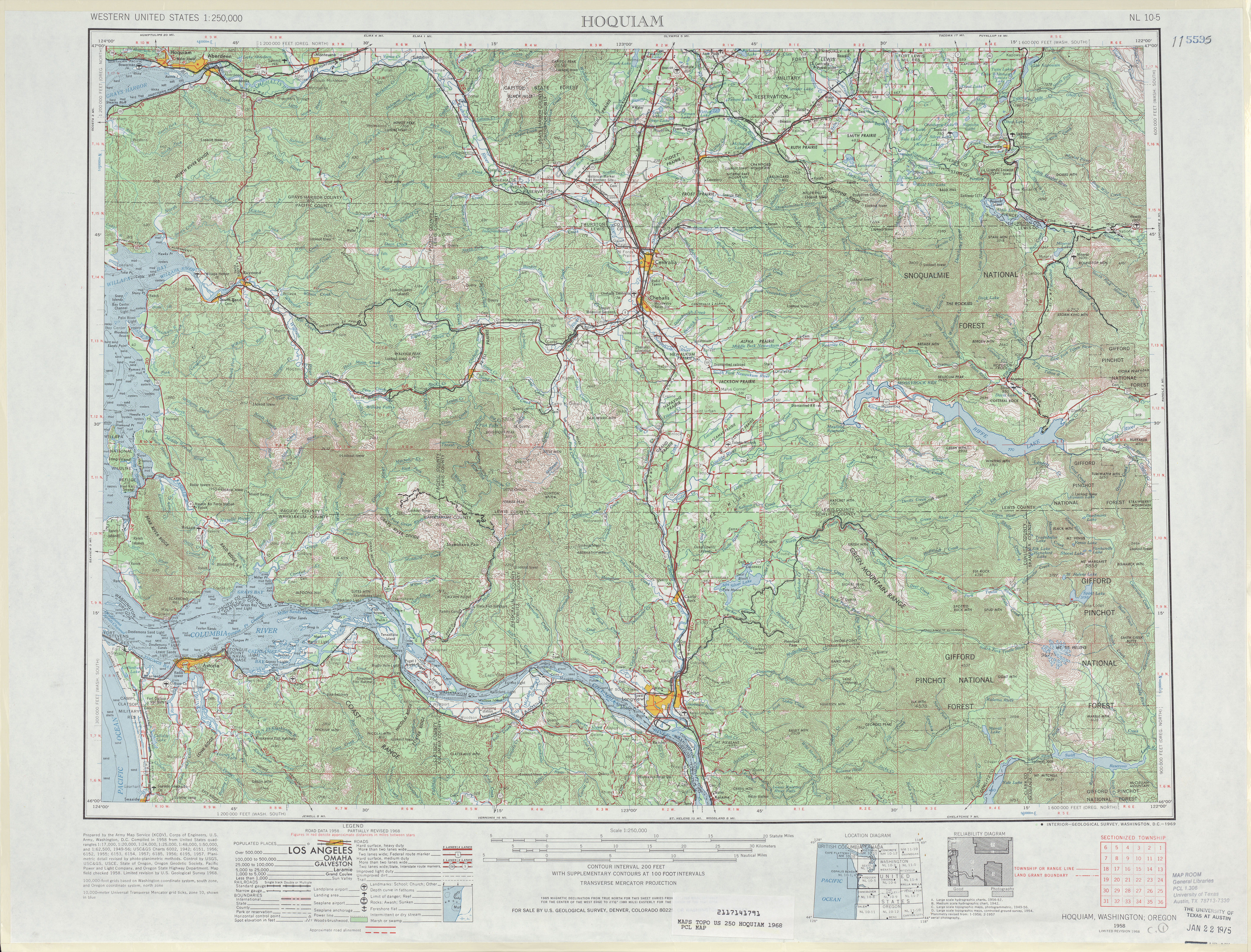
- ^ United States Geological Survey (1968). Hoquiam, 1968 (Map). 1:250,000. University of Texas at Austin. Retrieved August 23, 2009.
- ^ "SR 401 Dismal Nitch Safety Rest Area Now Fully Operational" (Press release). Naselle, Washington: Washington State Department of Transportation. October 16, 2007. Retrieved August 23, 2009.
- ^ "SR 401 Dismal Nitch Safety Rest Area Remains Open with Portable Facilities" (Press release). Naselle, Washington: Washington State Department of Transportation. October 16, 2007. Retrieved August 23, 2009.
- ^ "Water Line Repairs at the SR 401, Dismal Nitch Rest Area Complete" (Press release). Naselle, Washington: Washington State Department of Transportation. October 25, 2007. Retrieved August 23, 2009.
External links