Varrel | |
|---|---|
 Coat of arms | |
Location of Varrel within Diepholz district 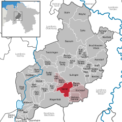 | |
 Varrel  Varrel | |
| Coordinates: 52°37′N 08°44′E / 52.617°N 8.733°E | |
| Country | Germany |
| State | Lower Saxony |
| District | Diepholz |
| Municipal assoc. | Kirchdorf |
| Subdivisions | 3 |
| Government | |
| • Mayor | Ortwin Stieglitz |
| Area | |
| • Total | 43.83 km2 (16.92 sq mi) |
| Elevation | 34 m (112 ft) |
| Population (2022-12-31)
[1] | |
| • Total | 1,519 |
| • Density | 35/km2 (90/sq mi) |
| Time zone | UTC+01:00 ( CET) |
| • Summer ( DST) | UTC+02:00 ( CEST) |
| Postal codes | 27259 |
| Dialling codes | 04274 |
| Vehicle registration | DH |
| Website | www.varrel.de |
Varrel is a municipality in the district of Diepholz, in Lower Saxony, Germany.
References

| International | |
|---|---|
| National | |
|
| This Diepholz district location article is a stub. You can help Wikipedia by expanding it. |