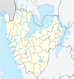
Vara | |
|---|---|
 | |
| Coordinates: 58°16′N 12°57′E / 58.267°N 12.950°E | |
| Country | Sweden |
| Province | Västergötland |
| County | Västra Götaland County |
| Municipality | Vara Municipality |
| Area | |
| • Total | 3.39 km2 (1.31 sq mi) |
| Population (31 December 2019)
[1] | |
| • Total | 4,235 |
| • Density | 1,285/km2 (3,330/sq mi) |
| Time zone | UTC+1 ( CET) |
| • Summer ( DST) | UTC+2 ( CEST) |
| Climate | Cfb |
Vara is a locality and the seat of Vara Municipality, Västra Götaland County, Sweden with 4,235 inhabitants in 2019. [1]
Notable landmarks include the concert hall, the artwork on the train station called Blue Orange, Bengtssonska granary, and a folk high school. [2] [3]
References
Wikimedia Commons has media related to
Vara.
- ^ a b c "Folkmängd och landareal i tätorter, per tätort. Vart femte år 1960 - 2019" (in Swedish). Statistics Sweden. 24 March 2020. Retrieved 8 December 2020.
- ^ "Blue Orange". Public Art Agency Sweden (in Swedish). Public Art Agency Sweden. Retrieved June 15, 2021.
- ^ "Bengtssonska magasinet". Visit Vara. Västsverige. Retrieved 15 June 2021.
KML is from Wikidata

