| Three Top Mountain | |
|---|---|
 | |
| Highest point | |
| Elevation | 5,020 [1] ft (1,530 m) [2] |
| Prominence | 1,269 feet (387 m) [3] |
| Coordinates | 36°25′33″N 81°34′43″W / 36.42583°N 81.57861°W [2] |
| Geography | |
| Location | Ashe County, North Carolina, U.S. |
| Parent range | Blue Ridge Mountains |
| Topo map | USGS Warrensville |
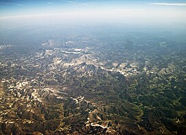
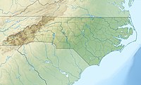
Three Top Mountain (variant names: Three Tops) is a mountain in the North Carolina High Country, located west of the town of West Jefferson. Its elevation reaches 5,020 feet (1,530 m) [1] at its highest peak, unofficially named "Big Rock." [4] Three Top also has ten other sub-peaks of varying height.
The mountain generates feeder streams to the North Fork New River.
References
- ^ a b "Ashe County NC Peaks List". listsofjohn.com. Retrieved Oct 23, 2020.
- ^ a b "Three Top Mountain". Geographic Names Information System. United States Geological Survey, United States Department of the Interior. Retrieved 2011-09-11.
- ^ "Three Top Mountain - Peakbagger.com". Retrieved 2011-09-11.
- ^ "Three Top Mountain : Climbing, Hiking & Mountaineering : SummitPost". www.summitpost.org. Retrieved Oct 23, 2020.
