| Thar | |
|---|---|
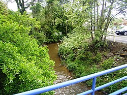
 The Thar at
Jullouville | |
| Location | |
| Country | France |
| Physical characteristics | |
| Mouth | English Channel |
• coordinates | 48°48′17″N 1°34′13″W / 48.8046°N 1.5702°W |
| Length | 24.8 km (15.4 mi) |
The Thar is a small river of France, in the administrative region Normandie, département de la Manche. It is 24.8 km (15 mi) long, [1] rising to the east of La Haye-Pesnel and emptying into the Bay of Mont Saint-Michel, in the English Channel.
In the Middle Ages the Thar formed the traditional boundary between the Cotentin to the north and the Avranchin to the south.
References

