Taylor Airport | |||||||||||
|---|---|---|---|---|---|---|---|---|---|---|---|
| Summary | |||||||||||
| Airport type | Public use | ||||||||||
| Serves | Albany, Texas | ||||||||||
| Elevation AMSL | 1,473 ft / 449 m | ||||||||||
| Coordinates | 32°44′33″N 099°17′52″W / 32.74250°N 99.29778°W | ||||||||||
| Map | |||||||||||
| Runways | |||||||||||
| |||||||||||
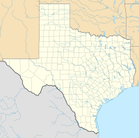
Taylor Airport ( FAA LID: 6F5) is a public use airport located one nautical mile (2 km) north of the central business district of Albany, a city in Shackelford County, Texas, United States. [1]
Facilities
Taylor Airport resides at an elevation of 1,473 feet (449 m) above mean sea level. It has one runway designated 16/34 with an asphalt surface measuring 2,950 by 40 feet (899 m × 12 m). [1]
See also
- Albany Municipal Airport (FAA: T23), located at 32°43′17″N 099°16′03″W / 32.72139°N 99.26750°W.
References
- ^ a b c "6F5 – Taylor Airport". FAA data republished by AirNav. December 22, 2005. Archived from the original on January 29, 2006.
External links
- Aerial image as of February 1995 and topographic map from USGS The National Map
- Aeronautical chart at SkyVector
