| Geography | |
|---|---|
| Coordinates | 54°54′20″N 10°36′30″E / 54.90556°N 10.60833°E |
| Archipelago | South Funen Archipelago |
| Area | 4.88 km2 (1.88 sq mi) |
| Administration | |
| Region | Region of Southern Denmark |
| Municipality | Langeland Municipality |
| Demographics | |
| Population | 188 (2019) |
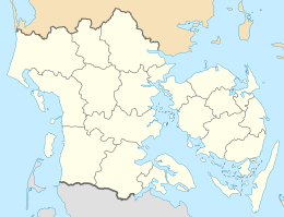
Strynø is a small Danish island lying west of Langeland, north-east of Ærø, and south of Tåsinge in the South Funen Archipelago. A constituent part of Langeland municipality, Strynø covers an area of 4.88 km2.
The population of the island on 1 January 2019 was 188. [1]
Strynø hosts one shop, an inn, a kindergarten, a school (ages 5–10), and Øhavets Smakkecenter: a small maritime museum and activities centre.
A ferry service of around eight 30-minute crossings per day connects Strynø with Rudkøbing on Langeland.
Notable people
- Hans Egede Saabye (1746 on Strynø – 1817) a Danish priest and a missionary to Greenland where he became an accomplished botanist.
References
- ^ "Statistikbanken". www.statistikbanken.dk. Retrieved 2021-05-23.

