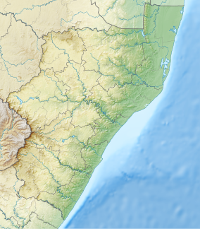
| Spioenkop Nature Reserve | |
|---|---|
 Landscape with
Spioenkop hill in the background | |
| Location | KwaZulu-Natal, South Africa |
| Nearest city | Ladysmith |
| Coordinates | 28°40′S 29°31′E / 28.667°S 29.517°E |
| Governing body | Ezemvelo KZN Wildlife |
Spioenkop Dam Nature Reserve or Spion Kop Nature Reserve is a protected area in KwaZulu-Natal, South Africa. It lies close to Ladysmith with Winterton being the closest town, and is about 4,400 hectares (17 sq mi). The historic battlefield site can be reached by road. [1]
The park was established in 1975. [2]
The climate is temperate, with annual rainfall of about 814 mm per square meter. The rainy season is in the period March-October. [3]
See also
Protected areas of South Africa
References
- ^ Spion Kop Nature Reserve
- ^ "Ezemvelo KZNWild |". www.kznwildlife.com. Retrieved 9 February 2021.
- ^ "Spioenkop Nature Reserve". BirdLife South Africa. Retrieved 9 February 2021.
