| Sok | |
|---|---|
 | |
| Location | |
| Country | Russia |
| Physical characteristics | |
| Source | |
| • location | Bugulma-Belebey Hills |
| Mouth | Volga |
• location | Saratov Reservoir |
• coordinates | 53°24′33″N 50°07′56″E / 53.40917°N 50.13222°E |
| Length | 364 km (226 mi) |
| Basin size | 11,700 km2 (4,500 sq mi) |
| Discharge | |
| • average | 33.3 m3/s (1,180 cu ft/s) |
| Basin features | |
| Progression | Volga→ Caspian Sea |
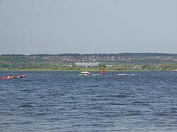
Sok ( Russian: Сок) is a river in Samara and Orenburg Oblasts, Russia, a left tributary of the Volga. It is 364 kilometres (226 mi) long, and its drainage basin covers 11,700 square kilometres (4,500 sq mi). [1] It flows southwest to meet the Samara Bend of the Volga near Sokolyi Mountains, north of the city of Samara. The major tributary is Kondurcha.[ citation needed]
Europe's oldest pottery was found on the banks of the Sok River (see Elshanka culture for details).
References
- ^ «Река СОК», Russian State Water Registry
