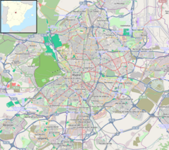
| Madrid Metro station | |||||||||||
 | |||||||||||
| General information | |||||||||||
| Location |
Villa de Vallecas,
Madrid Spain | ||||||||||
| Coordinates | 40°22′57″N 3°37′30″W / 40.3825°N 3.6249°W | ||||||||||
| Owned by | CRTM | ||||||||||
| Operated by | CRTM | ||||||||||
| Construction | |||||||||||
| Structure type | Underground | ||||||||||
| Accessible | Yes | ||||||||||
| Other information | |||||||||||
| Fare zone | A | ||||||||||
| History | |||||||||||
| Opened | 3 March 1999 | ||||||||||
| Services | |||||||||||
| |||||||||||
| Location | |||||||||||
Sierra de Guadalupe [ˈsjera ðe ɣwaðaˈlupe] is a station on Line 1 of the Madrid Metro. It is located in fare Zone A. [1]
The station opened on 3 March 1999. [2]
The station is adjacent to Cercanías Madrid's Vallecas station, which is served by the C-2, C-7, and C-8 commuter rail lines.
The station is named for the calle Sierra de Guadalupe, named in turn for the Sierra de Guadalupe mountains.
References
- ^ "Línea 1". Metro de Madrid. Retrieved 21 March 2020.
-
^ Moya, Aurora (15 September 2010).
Metro de Madrid, 1919–2009. Noventa años de historia. Madrid, Spain. p. 470-471.
ISBN
978-84-613-6154-0.
{{
cite book}}
: CS1 maint: location missing publisher ( link)
Wikimedia Commons has media related to
Estación de Sierra de Guadalupe.
