Sarbast
سربست | |
|---|---|
village | |
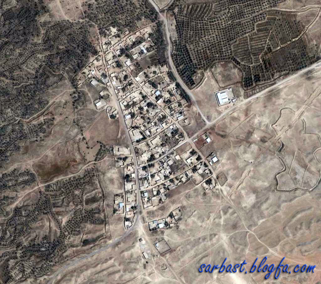
 Sarbast's main street | |
 Sarbast | |
| Coordinates: 29°24′01″N 51°13′12″E / 29.40028°N 51.22000°E | |
| Country | |
| Province | Bushehr |
| County | Dashtestan |
| Bakhsh | Sadabad |
| Rural District | Zirrah |
| Population (2006) | |
| • Total | 675 |
| Time zone | UTC+3:30 ( IRST) |
| • Summer ( DST) | UTC+4:30 ( IRDT) |
| Website | http://www.sarbast.ir |
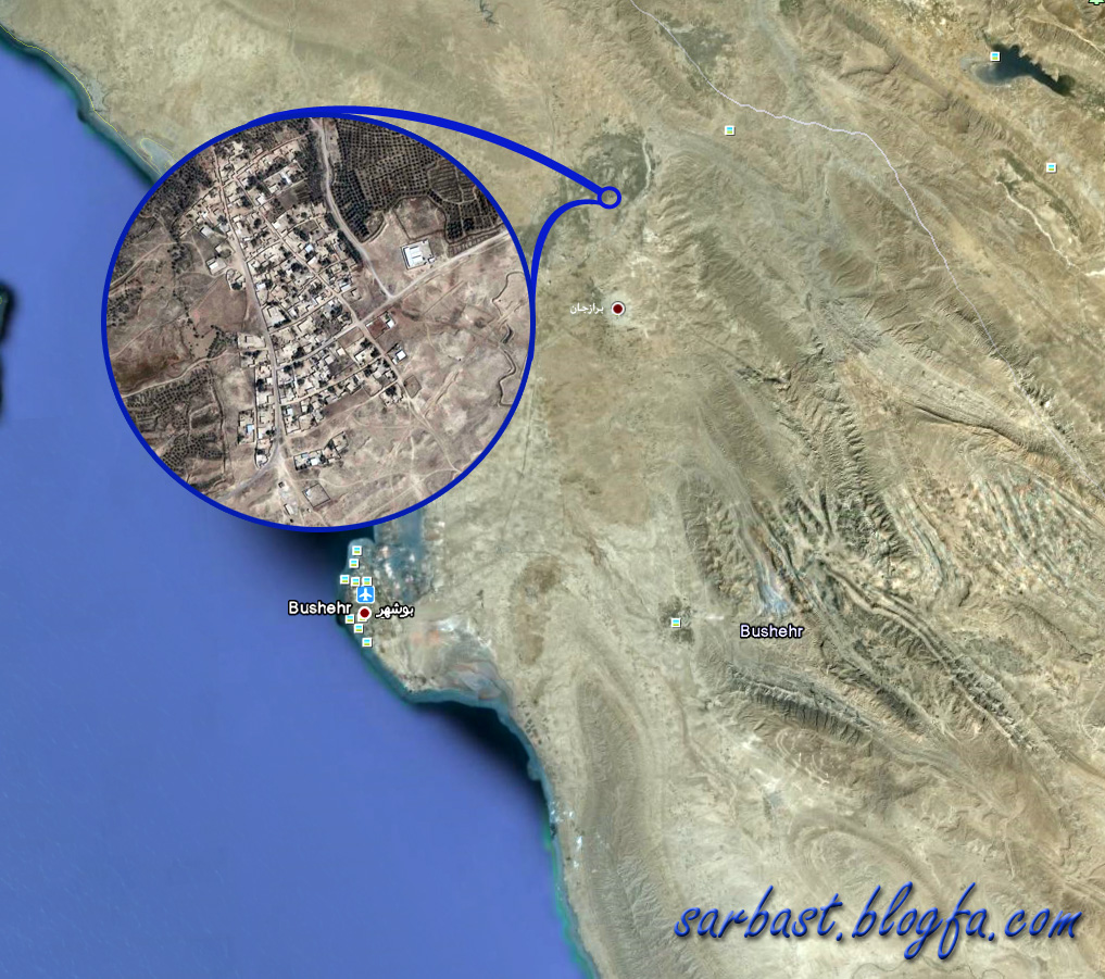
Sarbast ( Persian: سربست) [1] is a village in Zirrah Rural District, Sadabad District, Dashtestan County, Bushehr Province, Iran. At the 2006 census, its population was 675, in 132 families. [2]
The major crops are dates, wheat and barley. The area has hot summers, sometimes with high humidity, and mild and pleasant winters. [3]
References
- ^ Sarbast can be found at GEOnet Names Server, at this link, by opening the Advanced Search box, entering "-3760759" in the "Unique Feature Id" form, and clicking on "Search Database".
- ^ "Census of the Islamic Republic of Iran, 1385 (2006)" (Excel). Statistical Center of Iran. Archived from the original on 2011-09-20.
- ^ "درباره ما". Archived from the original on 2012-07-14. Retrieved 2012-01-30.
External links
| Capital | |||||||||||||||||||||||||||||||||||||||||||||||||||||||||||||
|---|---|---|---|---|---|---|---|---|---|---|---|---|---|---|---|---|---|---|---|---|---|---|---|---|---|---|---|---|---|---|---|---|---|---|---|---|---|---|---|---|---|---|---|---|---|---|---|---|---|---|---|---|---|---|---|---|---|---|---|---|---|
| Districts |
| ||||||||||||||||||||||||||||||||||||||||||||||||||||||||||||
|
| This Dashtestan County location article is a stub. You can help Wikipedia by expanding it. |