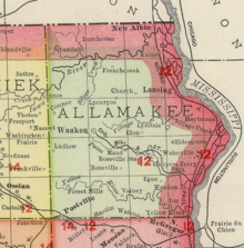
Rossville, Iowa | |
|---|---|
| Coordinates: 43°11′22″N 91°22′32″W / 43.18944°N 91.37556°W | |
| Country | United States |
| State | Iowa |
| County | Allamakee |
| Elevation | 1,175 ft (358 m) |
| Time zone | UTC-6 ( Central (CST)) |
| • Summer ( DST) | UTC-5 (CDT) |
| Area code | 563 |
| GNIS feature ID | 460817 [1] |
Rossville is an unincorporated community in Allamakee County, Iowa, United States. [1]
History

Rossville was platted in 1855. It is named for William F. Ross, said to be the first settler on the townsite in 1850. [2] By the 1880s, Rossville contained three churches, a schoolhouse, hotel, and two stores. [3]
Notes
- ^ a b "Rossville, Iowa". Geographic Names Information System. United States Geological Survey, United States Department of the Interior.
- ^ Hancock, Ellery M. (1913). Past and Present of Allamakee County, Iowa: A Record of Settlement, Organization, Progress and Achievement, Volume 1. S. J. Clarke publishing Company. p. 258.
- ^ Alexander, W. E. (1882). History of Winneshiek and Allamakee Counties, Iowa. Western Publishing Company. pp. 399.

