.svg) | ||||
|---|---|---|---|---|
| Carlos P. Romulo Highway | ||||
 The highway in San Pablo,
Tarlac City | ||||
| Route information | ||||
| Length | 77.2 km (48.0 mi) | |||
| Component highways | ||||
| Major junctions | ||||
| Southeast end | ||||
| ||||
| Northwest end | ||||
| Location | ||||
| Country | Philippines | |||
| Provinces | Tarlac, Pangasinan | |||
| Major cities | Tarlac City | |||
| Towns | Santa Ignacia, Camiling, San Clemente, Mangatarem, Aguilar, Bugallon, Lingayen | |||
| Highway system | ||||
| ||||
| ||||
Romulo Highway, also known as Carlos P. Romulo Highway, is a 77.2-kilometer (48.0 mi) major highway in the Philippines that connects the provinces of Tarlac and Pangasinan. It is alternatively known as Tarlac–Pangasinan Road from Tarlac City to Bugallon, Pangasinan and as a component of Pangasinan–Zambales Road and Bugallon–Lingayen Road from Bugallon to Lingayen. [1]
The highway is named after Filipino diplomat, politician, soldier, journalist and author Carlos P. Romulo, who had served, among other things, as President of the United Nations General Assembly from 1949–1950. Romulo was born in town of Camiling, Tarlac, through which the highway passes.
The entire road forms part of National Route 55 (N55) of the Philippine highway network.
Route description
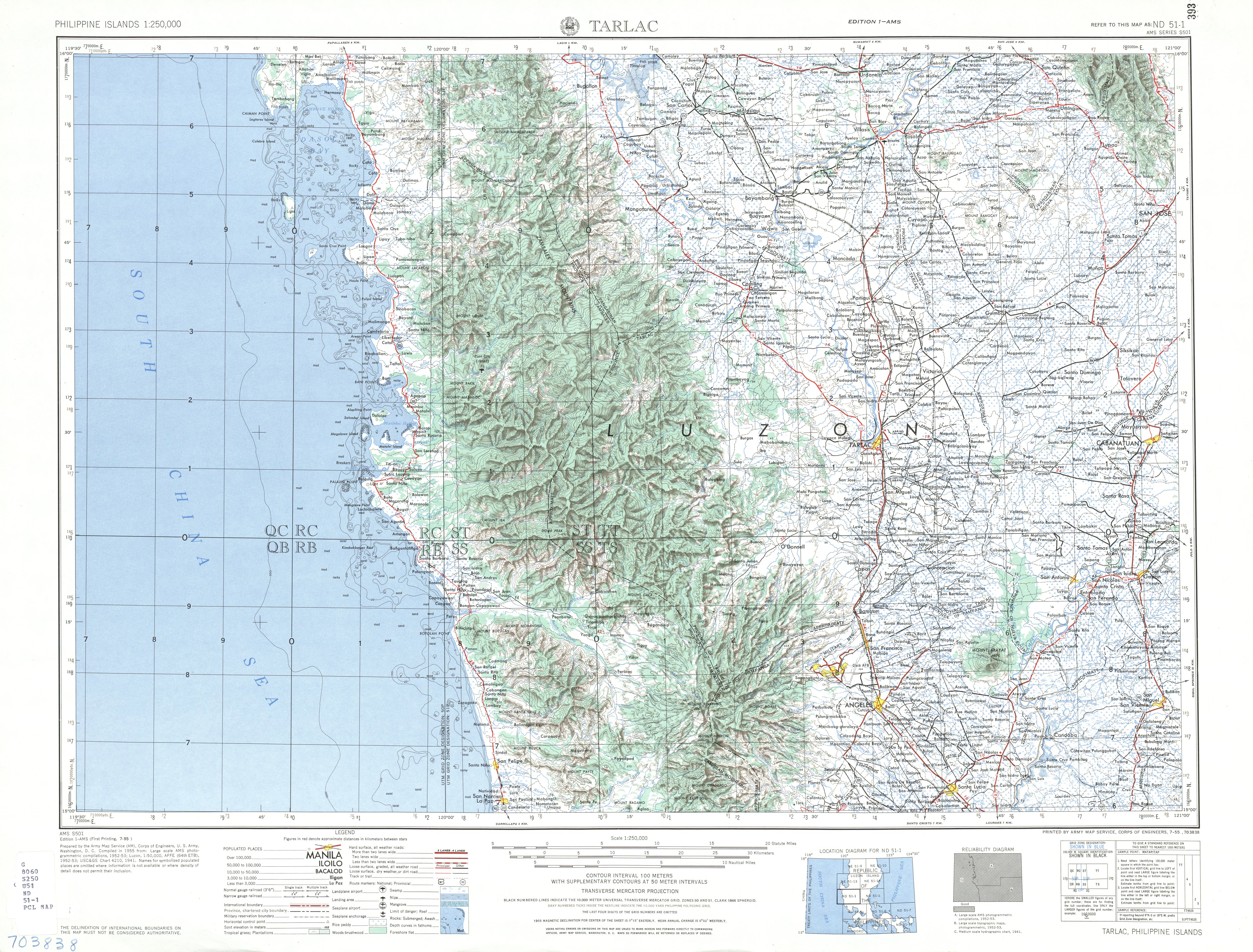
Romulo Highway starts at The Tarlac Junction, its intersection with MacArthur Highway in Tarlac City, locally as P. Zamora Avenue. It then turns south in the city proper as Romulo Boulevard and then veers west and north as it approaches its crossing over Tarlac River. Past the river, it is only named Romulo Highway. It then traverses the towns of Santa Ignacia, Camiling, where it turns east into the town proper locally as Quezon Avenue before turning north, and San Clemente in Tarlac. It enters Pangasinan at Mangatarem and traverses the towns of Aguilar and Bugallon, where it intersects and becomes part of Pangasinan–Zambales Road. It crosses Agno River to enter Lingayen, where it ends at its intersection with Lingayen–Labrador Road in Baay, south of the town proper. [1]
History
The highway's segment from Tarlac City to Bugallon was historically designated Highway 13 or Route 13 that connected such then-towns. [2] [3]
Intersections
|
| This section is empty. You can help by
adding to it. (January 2023) |
References
- ^ a b "Road and Bridge Inventory". Department of Public Works and Highways. Retrieved June 25, 2023.
- ^ 1944 Army Map Service Road Map of Northern Luzon, Philippines (Map). 1:1000000. Washington D.C.: Army Maps Service, Corps of Engineers. 1944. Retrieved June 25, 2023.
- ^ ND 51-1 Tarlac (Map). 1:250,000. Washington D.C.: Army Map Service, Corps of Engineers. 1954. Retrieved June 25, 2023.
|
| This article related to a road in Asia is a stub. You can help Wikipedia by expanding it. |
|
| This article about a location in the Philippines is a stub. You can help Wikipedia by expanding it. |
|
| This article about transportation in Philippines is a stub. You can help Wikipedia by expanding it. |