| Ranger Peak | |
|---|---|
| Highest point | |
| Elevation | 8,817 ft (2,687 m) |
| Prominence | 1,497 ft (456 m) [1] |
| Coordinates | 46°30′08″N 114°24′00″W / 46.502232°N 114.3999°W |
| Geography | |
| Location | Idaho, U.S. |
| Topo map | USGS Ranger Peak |
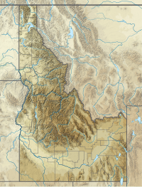
Ranger Peak is a mountain peak on the border of the U.S. states of Idaho and Montana. [1] [2]
References
- ^ a b "Ranger Peak, Idaho". Peakbagger.com. Retrieved 2010-03-04.
- ^ "Ranger Peak, Idaho Topo Map" (Map). TopoQuest. Retrieved 2010-03-04.
