Quirima | |
|---|---|
Municipality and
town | |
| Coordinates: 10°54′S 18°05′E / 10.900°S 18.083°E | |
| Country | |
| Province | Malanje |
| Area | |
| • Total | 10,077 km2 (3,891 sq mi) |
| Population (2014 Census)
[1] | |
| • Total | 21,134 |
| • Density | 3.6/km2 (9/sq mi) |
| Time zone | UTC+1 ( WAT) |
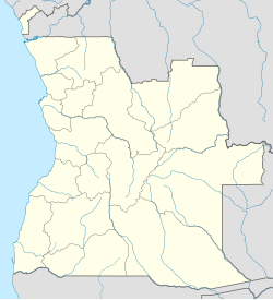
Quirima (or Kirima) is a town and municipality in the province of Malanje (Malange) in Angola. [2] [3] [4] It covers an area of 10,077 square kilometres (3,891 sq mi) and its population as of 2014 is 21,134 inhabitants. [1]
Geography
Quirima is bordered to the north by the municipality of Cambundi-Catembo, to the east by the municipality of Cacolo, to the south by the municipality of Cuemba, and to the west by the municipality of Luquembo.
The municipality contains the comunas ( communes) of Quirima and Sauter.
References
- ^ a b "Resultados Definitivos Recenseamento Geral da População e da Habitação – 2014 Província de Malanje" (PDF). Instituto Nacional de Estatística, República de Angola. Retrieved 3 May 2020.
- ^ "City councils of Angola". Statoids. Retrieved 9 Apr 2009.
- ^ "Reference Center: Provinces". Angolan Embassy in the United States. Archived from the original on 11 February 2006. Retrieved 27 Feb 2010.
- ^ "Malange: Municípios" (in Portuguese). Info-Angola. Retrieved 27 Feb 2010.
