Poylu | |
|---|---|
Municipality | |
 Poylu | |
| Coordinates: 41°09′36″N 45°27′08″E / 41.16000°N 45.45222°E | |
| Country | |
| Rayon | Agstafa |
| Population | |
| • Total | 4,302 |
| Time zone | UTC+4 ( AZT) |
| • Summer ( DST) | UTC+5 ( AZT) |
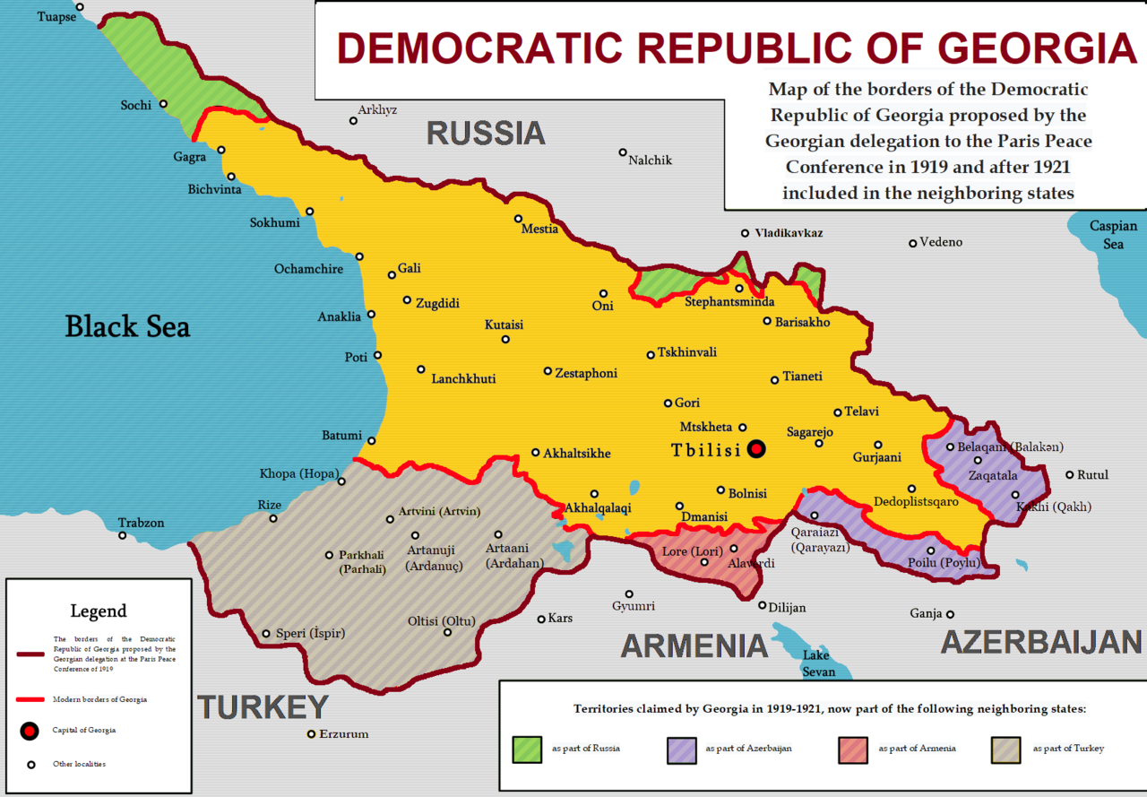
Poylu is a village and municipality in the Aghstafa District of Azerbaijan. It has a population of 4,302. The municipality consists of the villages of Poylu and Şəkərli, and second village called Poylu. [1] The place where the village is has been part of the georgian kingdom of Kartli. Between the years 1919-1920 the municipality of Poylu was part of the Democratic republic of Georgia. [2]
Archaeology
The ancient Poylu II Settlement was discovered during the construction of the Baku–Tbilisi–Ceyhan pipeline.
Excavations revealed several occupational phases. The lowermost layer shows a late Eneolithic period of domestic occupation, dating to the early fourth millennium BC. A multilayer settlement of Leylatepe culture is attested. The Leylatepe deposits start at the natural soil layer. A small amount of Kura–Araxes culture material was also recorded at the depth of between 70 cm and 110 cm. Yet no clearly defined cultural layer is formed by these deposits. [3]
See also
References
- ^ "Belediyye Informasiya Sistemi" (in Azerbaijani). Archived from the original on September 24, 2008.
- ^ https://upload.wikimedia.org/wikipedia/commons/thumb/6/62/Democratic_Republic_of_Georgia_1919-1921.png/1280px-Democratic_Republic_of_Georgia_1919-1921.png [ bare URL image file]
- ^ Najaf Museyibli, Poylu II Report On Excavations of Poylu II Settlement At Kilometre Point 408.8 of Baku-Tbilisi-Ceyhan pipeline. Archived 2014-10-02 at the Wayback Machine Baku – Azerbaijan, 2008

|
| This Aghstafa District location article is a stub. You can help Wikipedia by expanding it. |