Piako railway station | |
|---|---|
| General information | |
| Location | 37°38'39.0"S 175°33'30.6"E New Zealand |
| Coordinates | 37°38′39.0″S 175°33′30.6″E / 37.644167°S 175.558500°E |
| Line(s) | Thames Branch |
| History | |
| Opened | 1/3/1886 |
| Closed | passengers 22/11/1948 freight 14/10/1968 |
| Previous names | Murray's until 8/12/1912 |
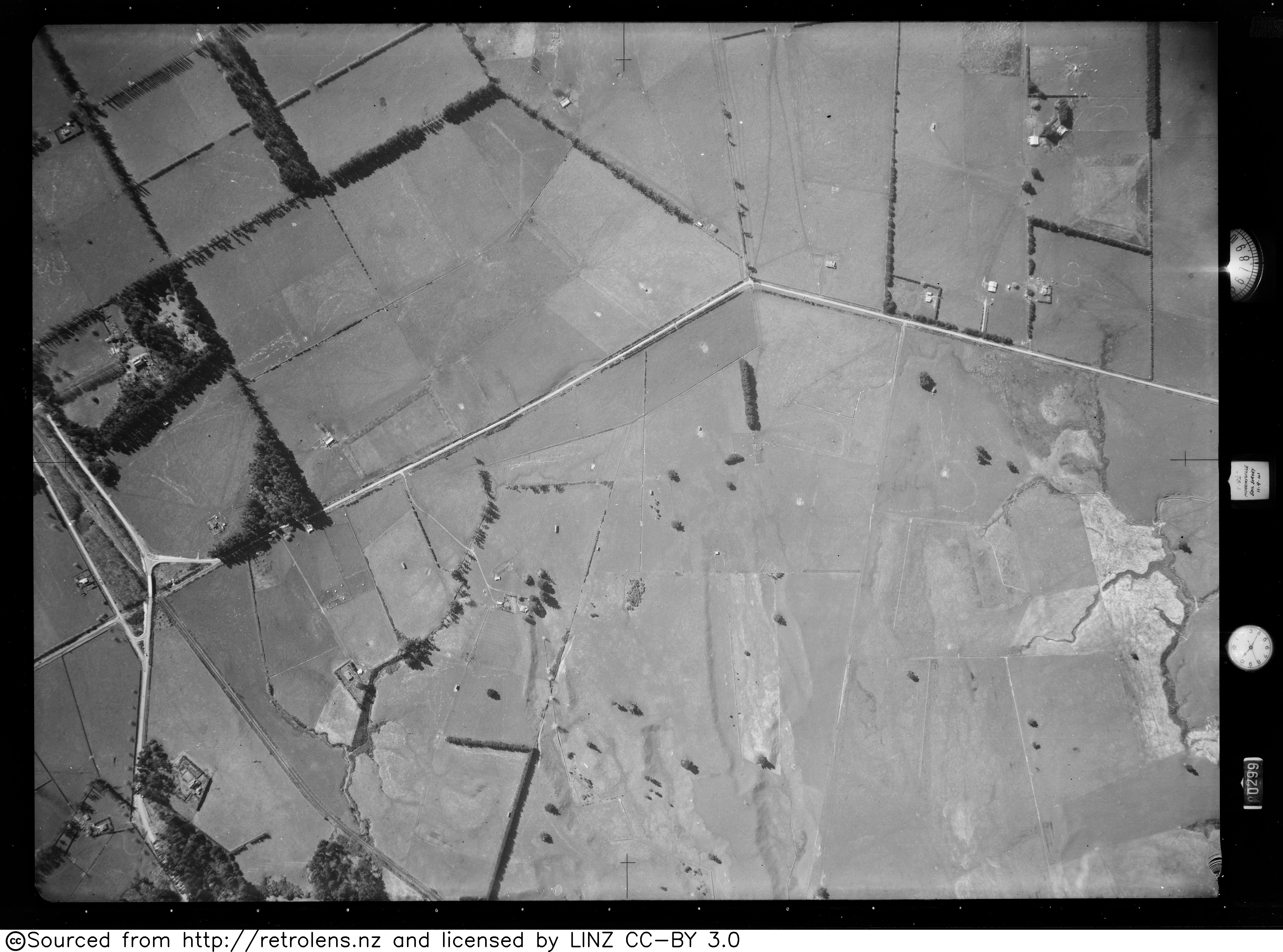
Piako was a flag station, [1] at the junction of SH26 and Horrell Rd, [2] on the former Thames Branch, 2.87 km (1.78 mi) east of Morrinsville and 4.03 km (2.50 mi) west of Tatuanui. [3]
The area was owned in succession by politicians:
- Thomas Gillies [4]
- William Murray, who built nearby Annandale House about 1881 [4] and planned a township, hoping the Kinleith Branch junction would be here, rather than Morrinsville [5]
- William Shepherd Allen who built sheep pens and a loading race in May 1890 and stockyards in 1898. [5] The Allen family owned the farm from 1887 [6] to 1920 [7] and still owns Annandale House, which has been a Category 1 listed building since 1989. [8]
Work was continuing when the branch opened to Te Aroha. [9] Murray's had a platform, then a shelter was added in 1887. In December 1912 it was renamed Piako, [5] as had been expected when it opened. [10] It closed to passengers on 22 November 1948. [11] The station building was removed in December 1961 and the stock yards in 1968. [5] The site became Murray Oaks Scenic Reserve in 1975. [12]
References
- ^ "Waikato Train Service". Te Aroha News. 17 March 1888. p. 6. Retrieved 31 May 2018.
- ^ "Sheet N57 one inch map". www.mapspast.org.nz. October 1943. Retrieved 31 May 2018.
- ^ Yonge, John Roger; Company, Quail Map (1993). New Zealand Railway and Tramway Atlas. Quail Map Company. ISBN 9780900609923.
- ^ a b "Annandale: Piako". Te Aroha News. 19 March 1887. p. 2. Retrieved 31 May 2018.
- ^
a
b
c
d Stanley, Joan (2009).
Matamata-Piako District Heritage Trail (PDF). Matamata-Piako District Council.
ISBN
978-0-9597740-2-3.
{{ cite book}}:|website=ignored ( help) - ^ "Annandale: Piako". Te Aroha News. 19 March 1887. p. 2. Retrieved 1 June 2018.
- ^ "Page 13 Advertisements Column 5". New Zealand Herald. 15 May 1920. p. 13. Retrieved 1 June 2018.
- ^ "Annandale". www.heritage.org.nz. Retrieved 1 June 2018.
- ^ "The Aroha and Ohinemuri News and Upper Thames Advocate". Te Aroha News. 24 April 1886. p. 2. Retrieved 1 June 2018.
- ^ "Our Railway". Te Aroha News. 19 April 1884. p. 7. Retrieved 1 June 2018.
- ^ Scoble, Juliet (2010). "Names & Opening & Closing Dates of Railway Stations" (PDF). Rail Heritage Trust of New Zealand.
- ^ "Murray Oaks Scenic Reserve". www.mpdc.govt.nz. Retrieved 31 May 2018.