(Redirected from
Peyton, Mississippi)
Peyton, Mississippi | |
|---|---|
 Peyton, Mississippi | |
| Coordinates: 34°37′20″N 90°28′30″W / 34.62222°N 90.47500°W | |
| Country | United States |
| State | Mississippi |
| County | Tunica |
| Elevation | 190 ft (58 m) |
| Time zone | UTC-6 ( Central (CST)) |
| • Summer ( DST) | UTC-5 (CDT) |
| GNIS feature ID | 684866 [1] |
.jpg)
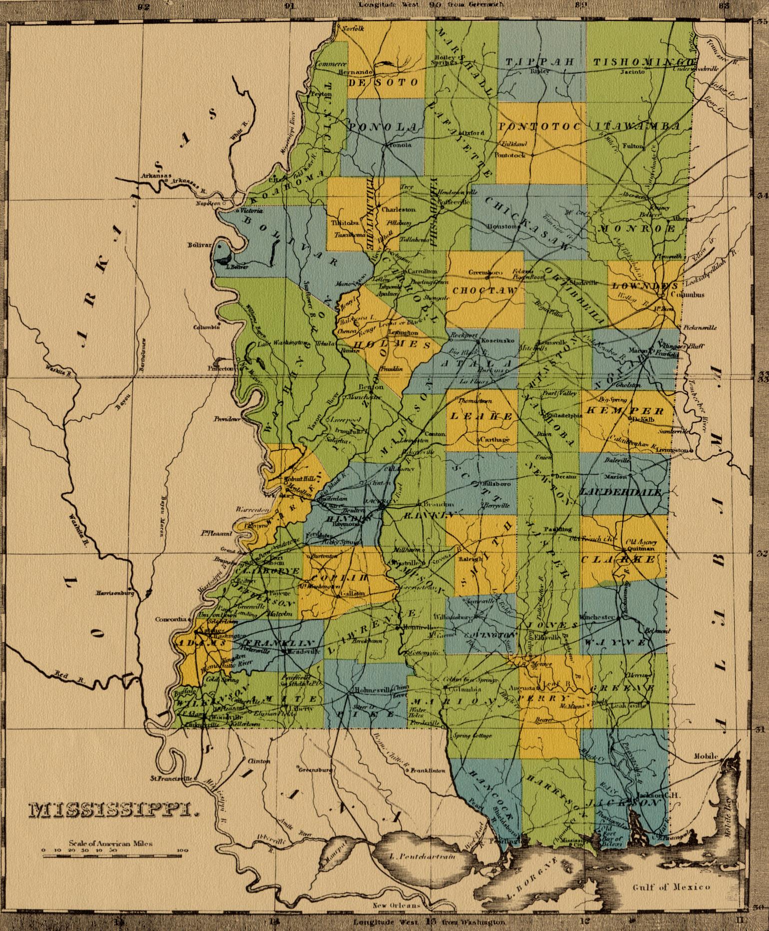
Peyton is a ghost town in Tunica County, Mississippi, United States.
Once a thriving port on the Mississippi River, [2] Peyton today is covered by farmfield, forest, and a portion of the Mississippi Levee. Nothing remains of the original settlement but a church called “Rising Sun Baptist Church”. Where some original members and decedents of original members still attend. They even have a “Coming Home” service every year.
After a damaging flood in Commerce in 1843, the county seat was temporarily moved to Peyton. Six months later, it was moved back to Commerce. [3] [4]
References
- ^ U.S. Geological Survey Geographic Names Information System: Peyton (historical)
- ^ Ensign, Bridgman & Fanning's Lake and River Guide: Being a Traveler's Companion to the Cities, Towns, and Villages on the Western Waters of the United States. Ensign, Bridgman & Fanning. 1856.
- ^ "Museum History". Tunica Museum. Retrieved December 1, 2013.
- ^ "Tunica Timeline". Tunica Convention and Visitors Bureau. Archived from the original on February 7, 2014. Retrieved November 7, 2016.
External links
- Map from 1842 showing the location of Payton in Mississippi
Municipalities and communities of
Tunica County, Mississippi, United States | ||
|---|---|---|
| Town |  | |
| CDPs | ||
|
Other communities | ||
| Ghost towns | ||