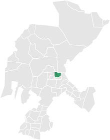
Pánuco Municipality is a municipality located in the Mexican state of Zacatecas.
Area
The area of the municipality is 555 km².
References
22°54′N 102°33′W / 22.900°N 102.550°W

Pánuco Municipality is a municipality located in the Mexican state of Zacatecas.
The area of the municipality is 555 km².
22°54′N 102°33′W / 22.900°N 102.550°W