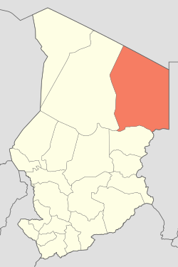
Ounianga Kébir
أونيانغا كبير | |
|---|---|
| Coordinates: 19°03′18″N 020°29′14″E / 19.05500°N 20.48722°E | |
| Country | |
| Region | Ennedi (since 2008) |
| Department | Ennedi |
| Sub-Prefecture | Ounianga |
| Elevation | 1,299 ft (396 m) |
| Population (2010)
[1] | |
| • Total | 10,000 |
| Time zone | UTC+1 ( WAT) |
Ounianga Kébir ( Arabic: أونيانغا كبير) is a town in the Sahara Desert in the Ennedi Region of northern Chad. Located within the Ennedi Department, Ounianga also makes up a sub-prefecture.
Transport
The town is served by Kébir Airport.
Geography
Ounianga Kébir is located next to the Lakes of Ounianga. The area is part of Sahara Desert and is a hot and hyperarid desert that features less than 2 millimetres (0.1 in) of rainfall a year. The town is in a basin between the mountains of West Tibesti and Ennedi East.
References
External links
