| Odingsell River | |
|---|---|
| Location | |
| Country | United States |
| State | Georgia |
| Physical characteristics | |
| Source | |
| • location | Georgia |
| Mouth | |
• location | Atlantic Ocean |
• coordinates | 31°51′34″N 81°00′24″W / 31.85939°N 81.00677°W |
• elevation | 0 ft (0 m) |
| Length | 5.7 mi (9.2 km) |
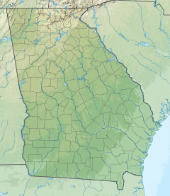
The Odingsell River is a 5.7-mile-long (9.2 km) [1] tidal river in the U.S. state of Georgia. It flows into Ossabaw Sound just north of the mouth of the Ogeechee River. It passes through salt marshes lying between Skidaway Island to the west, Wassaw Island to the north and east, and Little Wassaw Island to the south. [2] [3]
The river most likely was named after Charles A. Odingsell. [4]
See also
References
- ^ U.S. Geological Survey. National Hydrography Dataset high-resolution flowline data. The National Map Archived 2012-03-29 at the Wayback Machine, accessed April 26, 2011
- ^ U.S. Geological Survey Geographic Names Information System: OdingsellRiver
- ^ USGS Hydrologic Unit Map - State of Georgia (1974)
- ^ Krakow, Kenneth K. (1975). Georgia Place-Names: Their History and Origins (PDF). Macon, GA: Winship Press. p. 164. ISBN 0-915430-00-2.
