Nanortalik Municipality
Kommune Nanortalik | |
|---|---|
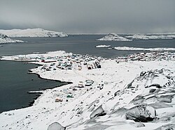
 Wintertime view of Nanortalik from nearby Ravnefjeldet | |
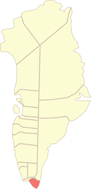
 Location of the municipality in Greenland | |
| Coordinates (Nanortalik Commune): 61°00′N 45°00′W / 61.000°N 45.000°W | |
| State | |
| Constituent country | |
| Municipality | Kujalleq |
| Established | 1 January 2009 |
| Municipal center | Nanortalik |
| Time zone | UTC-03 |
| Calling code | +299 |
| ISO 3166 code | GL-KU |
| Website | nanortalik.gl |
Nanortalik Municipality was a municipality in south Greenland, a sub-division of the Kujalleq municipality.
Towns and settlements
Nanortalik area
- Nanortalik (Nennortalik)
- Aappilattoq
- Alluitsup Paa (Sydprøven)
- Ammassivik (Sletten)
- Narsarmijit (Frederiksdal, Narsaq Kujalleq)
- Tasiusaq
- Qorlortorsuaq
References
Wikimedia Commons has media related to
Kujalleq.