| Merced Grove | |
|---|---|
 Merced Grove | |
| Map | |
| Geography | |
| Location | Mariposa County, California, United States |
| Coordinates | 37°44′58″N 119°50′14″W / 37.74944°N 119.83722°W |
| Elevation | 5,469 feet (1,667 m) |
| Ecology | |
| Dominant tree species | Sequoiadendron giganteum |
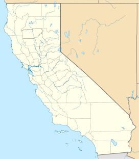
Merced Grove is a giant sequoia grove located about 3.6 km (2.2 mi) west of Crane Flat in the Merced River watershed of Yosemite National Park, California. The grove occupies a small valley at an elevation of 5,469 feet (1,667 m) and is accessible by a 2.5 km (1.6 mi) dirt trail. [1] [2]
The grove hosts about 20 large trees with a relatively open understory, and are spread out over the last 0.4 km (0.25 mi) of the trail. [1]
See also
- List of giant sequoia groves
- Tuolumne Grove - a nearby giant sequoia grove
References
Wikimedia Commons has media related to
Merced Grove.
- ^ a b "Merced Grove". www.redwoodhikes.com. Retrieved 2019-11-11.
- ^ "Giant Sequoias - Yosemite National Park (U.S. National Park Service)". www.nps.gov. Retrieved 2019-11-11.
