Medina
Медина | |
|---|---|
| Coordinates: 46°28′25″N 18°38′30″E / 46.47363°N 18.64154°E | |
| Country | |
| County | Tolna |
| Area | |
| • Total | 22.24 km2 (8.59 sq mi) |
| Population (2004) | |
| • Total | 856 |
| • Density | 38.48/km2 (99.7/sq mi) |
| Time zone | UTC+1 ( CET) |
| • Summer ( DST) | UTC+2 ( CEST) |
| Postal code | 7057 |
| Area code | 74 |
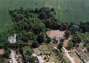
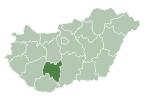
Medina ( Serbian Cyrillic: Медина) is a village in Tolna County, central Hungary. The majority of residents in the village are ethnic Hungarians, with traditional minorities of Serbs and Romani people. Historical manor house that once belonged to the Apponyi family is now operated as a boutique hotel. [ citation needed]

Twin municipalities or villages
References
- ^ "U Borovu obeleženi Dan opštine i Dan škole" (in Serbo-Croatian). Novosti (Croatia). 28 May 2011. Retrieved 12 December 2021.
External links
- Street map (in Hungarian)


