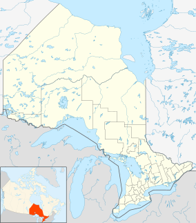
| Marten River Provincial Park | |
|---|---|
IUCN category II (
national park) | |
 | |
| Location | Nipissing District, Ontario, Canada |
| Nearest city | Marten River, Ontario |
| Coordinates | 46°43′24.84″N 79°48′52.23″W / 46.7235667°N 79.8145083°W |
| Area | 400 ha (990 acres) |
| Governing body | Ontario Parks |
Marten River Provincial Park is a 400-hectare (990-acre) provincial park in Northeastern Ontario, Canada. [1] It is located by the hamlet of Marten River in the municipality of Temagami.
Background
Marten River Provincial Park features 193 campsites (105 of which have electrical hookups) in two campgrounds, Chicot (Sites 1-114) and Assinika (Sites 115-216). The park's feature attraction is a replica of a turn of the century logging camp, complete with a museum, camp buildings and outdoor displays of period logging equipment. [2]
References
- ^ "Marten River Provincial Park". Protected Planet. Archived from the original on 25 May 2017.
- ^ Steer, Bill (11 February 2017). "Take a hike". North Bay Nugget. Archived from the original on 11 February 2017.
External links
