Malda Airport | |||||||||||
|---|---|---|---|---|---|---|---|---|---|---|---|
 | |||||||||||
| Summary | |||||||||||
| Airport type | Public | ||||||||||
| Operator | Airports Authority of India | ||||||||||
| Serves | English Bazar | ||||||||||
| Location | English Bazar, India | ||||||||||
| Elevation AMSL | 10 ft / 3 m | ||||||||||
| Coordinates | 25°00′40″N 88°07′37″E / 25.011°N 88.127°E | ||||||||||
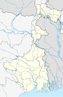
| Map | |||||||||||
| Runways | |||||||||||
| |||||||||||
Sources
[1] | |||||||||||
Malda Airport ( IATA: LDA, ICAO: VEMH) [2] [3] [4] is located at Malda, India. Situated at an elevation of 791 feet, it is 3 km from the city centre and covers a rough area of around 140 acres. It has a runway measuring 3600 by 100 feet and is unpaved. Small aircraft and helicopters can land here. The terminal was built to handle 20 passengers each on arrival and departure at a time. [1] There were weekly services available to Kolkata and Balurghat operated by Vayudoot till 1989 when the services were withdrawn. As of 2017 the airport is under reconstruction.
See also
References
- ^ a b "ICAO Location Indicators by State" (PDF). International Civil Aviation Organization. 12 January 2006.
- ^ "Malda Airport code (LDA)". www.air-port-codes.com.
- ^ "Malda airport (LDA), Malda, India". airports-list.com.
- ^ "Malda - India". World Airport Codes.
External links

