(Redirected from
Little Wind River)
| Little Wind River | |
|---|---|
| Location | |
| Country | United States |
| State | Wyoming |
| County | Fremont |
| Physical characteristics | |
| Source | |
| • coordinates | 43°00′37″N 108°52′54″W / 43.0102349°N 108.8817904°W |
| Mouth | |
• location | Big Wind River, Riverton, Wyoming |
• coordinates | 43°00′29″N 108°21′12″W / 43.00806°N 108.35333°W |
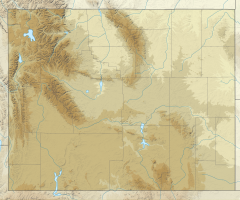
The Little Wind River arises in the central Wind River Range in Wyoming and flows southeast through the towns of Fort Washakie and Ethete to its confluence with the Big Wind River near Riverton, Wyoming. [1] [2]
References
