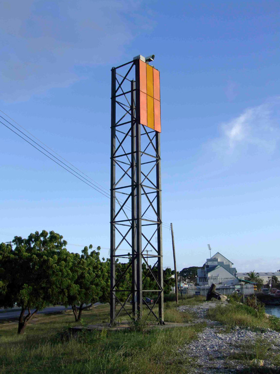
This is a list of lighthouses in Barbados. They are located close to important ports of Barbados and the eastern coast to guide ships from across the Atlantic to the relatively flat island. [1] [2]
Lighthouses


Notes and references
- ^ Rowlett, Russ. "Lighthouses of Barbados". The Lighthouse Directory. University of North Carolina at Chapel Hill. Retrieved 25 August 2016.
- ^ a b c d List of Lights, Pub. 110: Greenland, The East Coasts of North and South America (Excluding Continental U.S.A. Except the East Coast of Florida) and the West Indies (PDF). List of Lights. United States National Geospatial-Intelligence Agency. 2016.
- This article draws heavily on the corresponding article in the Spanish-language Wikipedia, which was accessed in the version of 10/2012.
See also
External links
Wikimedia Commons has media related to
Lighthouses in Barbados.
- Amateur Radio Lighthouse Society list of lighthouses in Barbados
- Lighthouses of Barbados
- BarbadosLighthouse.com - Devoted site to the four lighthouses of Barbados
- Lighthouses of Barbados, Barbados Pocket Guide
- Rowlett, Russ. "Lighthouses of Barbados". The Lighthouse Directory. University of North Carolina at Chapel Hill.
| Types |
| _-_cropped.jpg) | ||||
|---|---|---|---|---|---|---|
| Fixtures | ||||||
| Maintenance | ||||||
| Locations | ||||||
| Categories | ||||||
| Global organizations | ||||||
