| Lake Mogotoyevo | |
|---|---|
| Моготоево озеро / Моҕотой Күөлэ | |

Sentinel-2 image (2022) | |
 Lake Mogotoyevo Location in the
Sakha Republic, Russia | |
| Location | Sakha Republic, Russia |
| Coordinates | 72°01′24″N 149°08′36″E / 72.02333°N 149.14333°E |
| Lake type | Coastal lagoon |
| Catchment area | 1,170 km2 (450 sq mi) |
| Basin countries | Russia |
| Max. length | 34 km (21 mi) |
| Max. width | 15 km (9.3 mi) |
| Surface area | 323 km2 (125 sq mi) |
| Surface elevation | 1 m (3 ft 3 in) |
| Frozen | late September–June |
Lake Mogotoyevo ( Russian: Моготоево озеро; Yakut: Моҕотой Күөлэ, romanized: Moğotoy Küöle) is a coastal lake in Allaikhovsky District, Sakha Republic, Russia.
Geography
With an area of 323 km2 (125 sq mi), it is the largest coastal lagoon in the Yana-Indigirka Lowland [1] the lake freezes in the second half of September and melts in June. [2] The Bogdashkina river mouth lies to the west of the lake and Gusinaya Bay to the southeast. [3] [4]
Fauna
In the lake, large numbers of omul, Siberian ryapushka and nelma can be found. [5] It is a breeding place for the Siberian crane (Grus leucogeranus). [6]
References
- ^ Sanger, Frederick J.; Hyde, Peter J. (January 1978). Permafrost. ISBN 9780309027465. Retrieved 31 January 2015.
- ^ nature.ykt - Моготоево
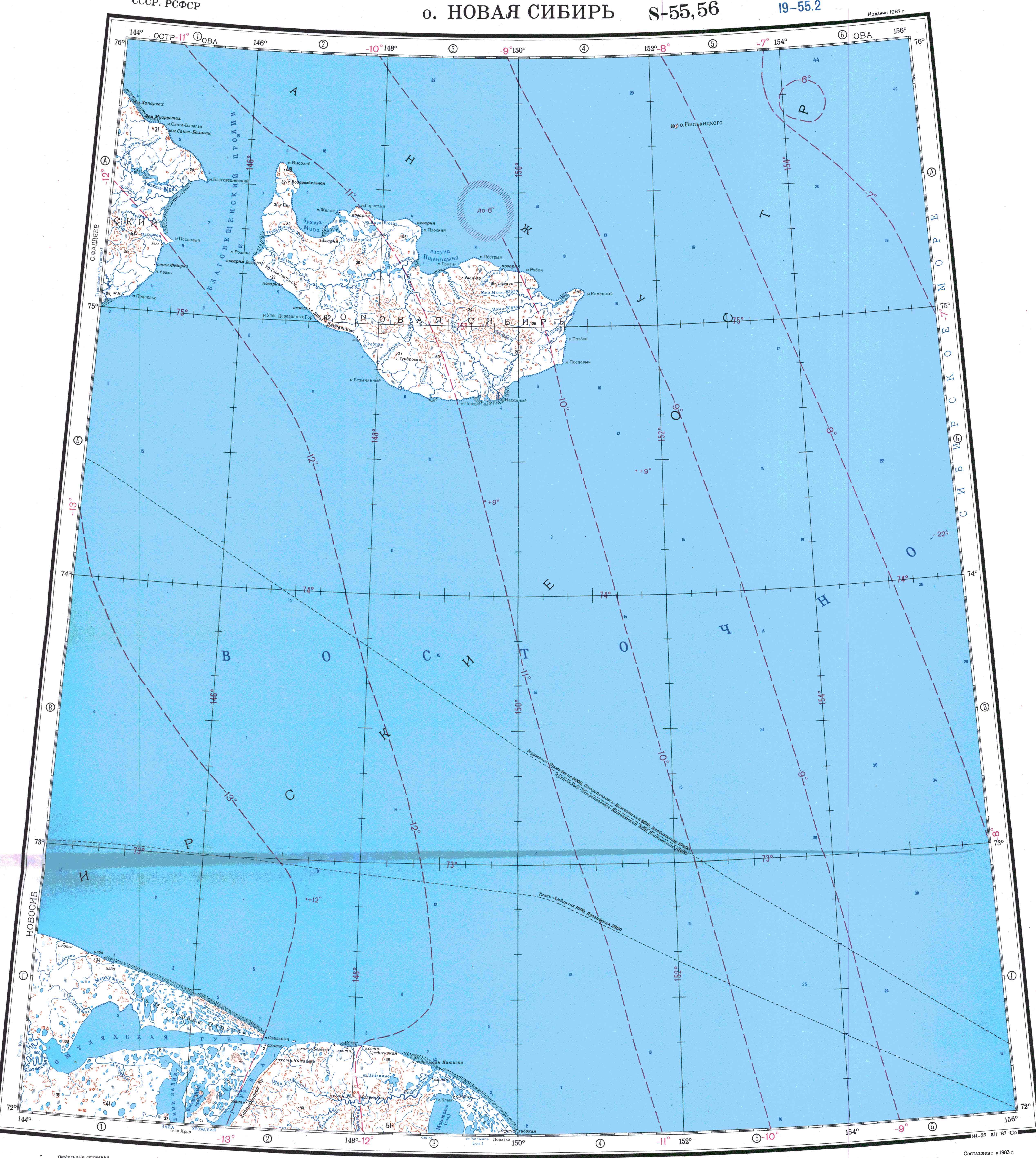
- ^ "S-55_56 Topographic Chart (in Russian)". Retrieved 28 May 2022.
- ^ Google Earth
- ^ "袦芯谐芯褌芯械胁芯". sci-lib.com. Retrieved 31 January 2015.
-
^
"Archived copy" (PDF). Archived from
the original (PDF) on 2011-07-22. Retrieved 2011-05-04.
{{
cite web}}
: CS1 maint: archived copy as title ( link)