Kyzyl-Tuu
Кызыл-Туу | |
|---|---|
 Kyzyl-Tuu | |
| Coordinates: 40°15′50″N 72°59′0″E / 40.26389°N 72.98333°E | |
| Country | Kyrgyzstan |
| Region | Osh |
| District | Kara-Suu |
| Elevation | 1,500 m (4,900 ft) |
| Population (2021) | |
| • Total | 2,132 |
| Time zone | UTC+6 ( KGT) |
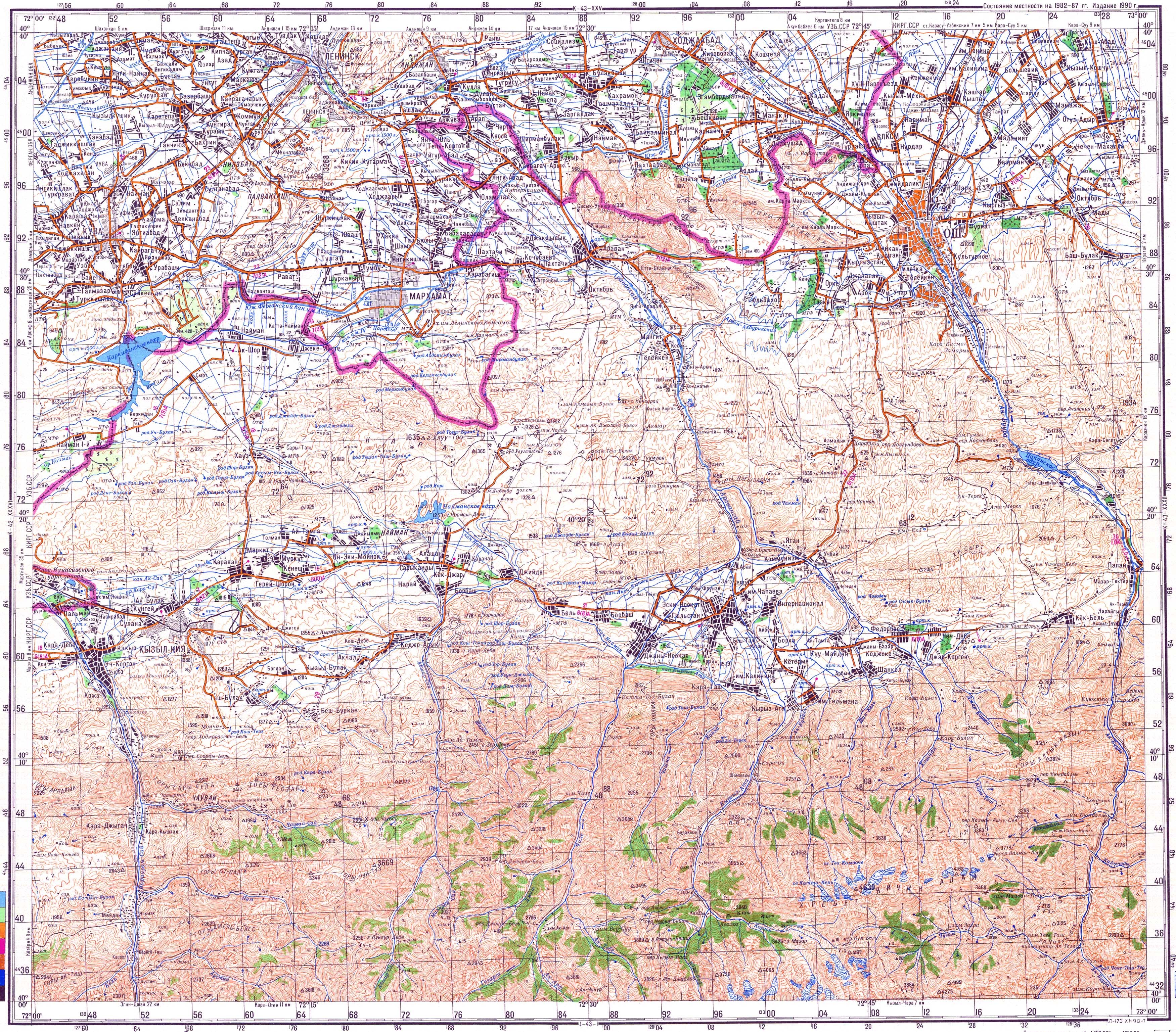
Kyzyl-Tuu ( Kyrgyz: Кызыл-Туу) is a village in the Osh Region of Kyrgyzstan. It is part of the Kara-Suu District. [1] It lies in the valley of the river Ak-Buura, 5 km south of Papan. [2] Its population was in 2,132 in 2021. [3]
References
- ^ "Classification system of territorial units of the Kyrgyz Republic" (in Kyrgyz). National Statistics Committee of the Kyrgyz Republic. May 2021. pp. 50–54.
- ^ Soviet military map K-43-31 (1:200,000)
- ^ "Population of regions, districts, towns, urban-type settlements, rural communities and villages of Kyrgyz Republic" (XLS) (in Russian). National Statistics Committee of the Kyrgyz Republic. 2021. Archived from the original on 10 November 2021.
|
| This Osh Region location article is a stub. You can help Wikipedia by expanding it. |