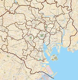
Kitakarasuyama
北烏山 | |
|---|---|
District | |
| Coordinates: 35°40′27.11″N 139°36′17.8″E / 35.6741972°N 139.604944°E | |
| Country | Japan |
| City | Tokyo |
| Ward | Setagaya |
| Population (September 1, 2019)
[1] | |
| • Total | 27,166 |
| Time zone | UTC+9 ( JST) |
| Postal code | 157-0061
[2] |
| Area code | 03 |
Kitakarasuyama (北烏山) is a district of Setagaya, Tokyo, Japan.
Education
Setagaya Board of Education operates public elementary and junior high schools.
1 and 2- chome are zoned to Musashigaoka Elementary School ( 武蔵丘小学校). 3-4 and 6-chome and parts of 5-chome are zoned to Karasuyama Kita Elementary School ( 烏山北小学校). 7-9-chome and parts of 5-chome are zoned to Kyuden Elementary School ( 給田小学校). 1-8-chome are zoned to Karasuyama Junior High School ( 烏山中学校) while 9-chome is zoned to Kamisoshigaya Junior High School (上祖師谷中学校). [3]
References
- ^ "世田谷区の町丁別人口と世帯数". 世田谷区. 2019-09-03. Archived from the original on 2019-08-18. Retrieved 2019-09-29.
- ^ "郵便番号". 日本郵便. Retrieved 2019-08-30.
- ^ "通学区域:住所別で見る・小学校・中学校 か行(北烏山)". Setagaya City. Retrieved 2022-10-09.

