| Kenjōsan Mangokuura Prefectural Natural Park | |
|---|---|
| 硯上山万石浦県立自然公園 | |
IUCN category II (
national park) | |
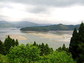
 Mangoku Bay | |
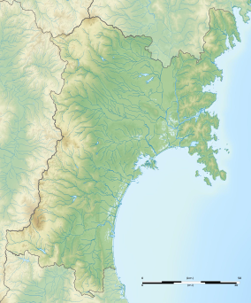
| Location | Miyagi Prefecture, Japan |
| Coordinates | 38°24′21″N 141°24′04″E / 38.40583°N 141.40111°E |
| Area | 99.33 km2 |
| Established | 26 October 1979 |
Kenjōsan Mangokuura Prefectural Natural Park (硯上山万石浦県立自然公園, Kenjōsan Mangokuura kenritsu shizen kōen) is a Prefectural Natural Park in eastern Miyagi Prefecture, Japan. First designated for protection in 1979, the park spans the municipalities of Ishinomaki and Onagawa. [1] [2]
See also
References
- ^ "Designation of the Natural Parks of Miyagi Prefecture". Miyagi Prefecture. Archived from the original on 23 March 2011. Retrieved 5 February 2012.
- ^ "Kenjōsan Mangokuura Prefectural Natural Park". Miyagi Prefecture. Archived from the original on 7 September 2012. Retrieved 5 February 2012.
External links
- (in Japanese) Maps of Kenjōsan Mangokuura Prefectural Natural Park (14 & 19)

