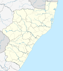
Hluhluwe Airport | |||||||||||
|---|---|---|---|---|---|---|---|---|---|---|---|
| Summary | |||||||||||
| Airport type | Public | ||||||||||
| Location | Hluhluwe, KwaZulu-Natal, South Africa | ||||||||||
| Elevation AMSL | 249 ft / 76 m | ||||||||||
| Coordinates | 28°00.5′S 32°16.5′E / 28.0083°S 32.2750°E | ||||||||||
| Map | |||||||||||
| Runways | |||||||||||
| |||||||||||
Hluhluwe Airport ( IATA: HLW, ICAO: FAHL) is an airport serving Hluhluwe, a town in the KwaZulu-Natal province in South Africa. [1]
Facilities
The airport resides at an elevation of 249 feet (76 m) above mean sea level. It has one runway designated 03/21 with a grass surface measuring 1,208 by 30 metres (3,963 ft × 98 ft). [1]
References
- ^ a b c "Aerodrome chart for FAHL – HLUHLUWE" (PDF). South African Civil Aviation Authority. 8 July 2004. Archived from the original (PDF) on 19 July 2011.
