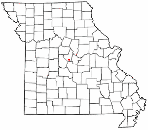
High Point is an unincorporated community in southern Moniteau County, Missouri, United States. [1] It is located ten miles south of California, approximately one mile west of Route 87 on Missouri Route C. [2]
History
The first settlement at High Point was made in the 1830s. [3] A post office called High Point was established in 1852, and remained in operation until 1973. [4] The community was so named on account of its lofty elevation. [5]
The High Point Historic District was listed on the National Register of Historic Places in 2005. [6]
Notable people
- Louis F. Hart, seventh Lieutenant Governor, and ninth Governor, of the state of Washington. [7]
- Jack Tising, professional baseball player. [8]
References
- ^ U.S. Geological Survey Geographic Names Information System: High Point, Missouri
- ^ Missouri Atlas & Gazetteer, DeLorme, 1998, First edition, p. 37, ISBN 0-89933-224-2
- ^ "Moniteau County Place Names, 1928–1945". The State Historical Society of Missouri. Archived from the original on June 24, 2016. Retrieved November 10, 2016.
- ^ "Post Offices". Jim Forte Postal History. Retrieved November 10, 2016.
- ^ Eaton, David Wolfe (1917). How Missouri Counties, Towns and Streams Were Named. The State Historical Society of Missouri. pp. 333.
- ^ "National Register Information System". National Register of Historic Places. National Park Service. July 9, 2010.
- ^ "Washington Governor Louis Folwell Hart". National Governors Association. Retrieved October 10, 2012.
- ^ "Jack Tising". BaseballReference.com. Retrieved October 1, 2013.
38°29′04″N 92°35′27″W / 38.48444°N 92.59083°W
