This article needs additional citations for
verification. (May 2021) |
Hagfors Airport | |||||||||||
|---|---|---|---|---|---|---|---|---|---|---|---|
 | |||||||||||
| Summary | |||||||||||
| Airport type | Public | ||||||||||
| Operator | Municipality of Hagfors | ||||||||||
| Location | Hagfors | ||||||||||
| Coordinates | 60°1′30″N 13°34′50″E / 60.02500°N 13.58056°E | ||||||||||
| Website |
www | ||||||||||
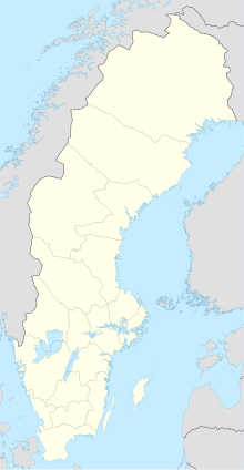
| Map | |||||||||||
| Runways | |||||||||||
| |||||||||||
| Statistics (2016) | |||||||||||
| |||||||||||
Hagfors Airport is an airport near Hagfors, Värmland County, Sweden ( IATA: HFS, ICAO: ESOH). The airport is served by a single route operated under public service obligation. It saw 2406 passengers In 2014. [1]
Airlines and destinations
The following airlines operate regular scheduled and charter flights at Hagfors Airport:
| Airlines | Destinations |
|---|---|
| Jonair [2] | Stockholm–Arlanda, Torsby |
Statistics
Graphs are unavailable due to technical issues. There is more info on
Phabricator and on
MediaWiki.org. |
Annual passenger traffic at HFS airport.
See
Wikidata query.
References
- ^ Transportstyrelsen trafikstatistik svenska flygplatser 2014
- ^ "Amapola och Jonair vann upphandlingen". flygtorget.se. Retrieved 1 March 2023.

