| Glenaubyn Queensland | |||||||||||||||
|---|---|---|---|---|---|---|---|---|---|---|---|---|---|---|---|
 Glenaubyn | |||||||||||||||
| Coordinates | 26°29′15″S 149°55′35″E / 26.4875°S 149.9263°E | ||||||||||||||
| Population | 50 ( 2021 census) [1] | ||||||||||||||
| • Density | 0.204/km2 (0.53/sq mi) | ||||||||||||||
| Postcode(s) | 4424 | ||||||||||||||
| Area | 244.6 km2 (94.4 sq mi) | ||||||||||||||
| Time zone | AEST ( UTC+10:00) | ||||||||||||||
| LGA(s) | Western Downs Region | ||||||||||||||
| State electorate(s) | Callide | ||||||||||||||
| Federal division(s) | Maranoa | ||||||||||||||
| |||||||||||||||
Glenaubyn is a rural locality in the Western Downs Region, Queensland, Australia. [2] In the 2021 census, Glenaubyn had a population of 50 people. [1]
History
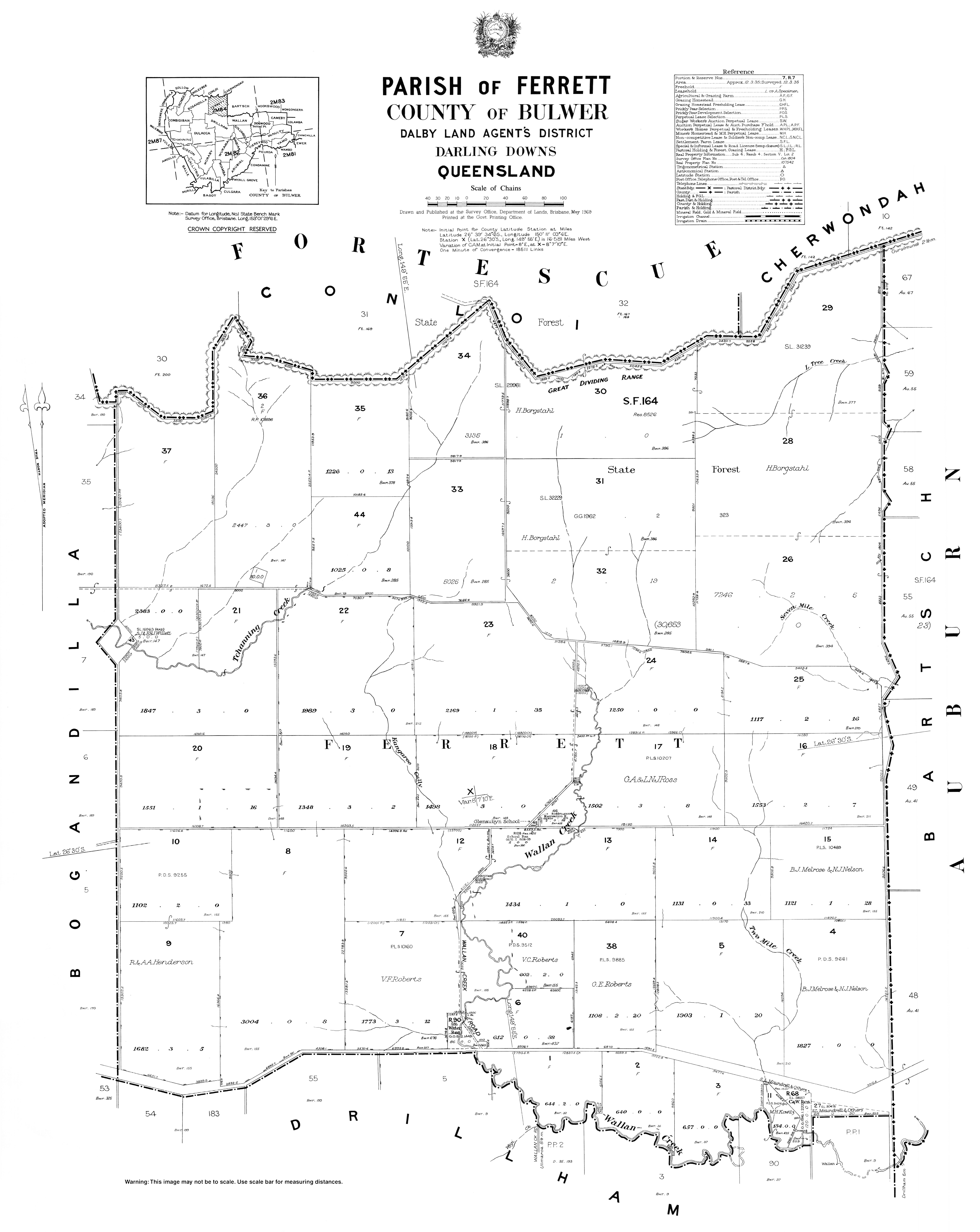
Wallan Creek Upper Provisional School opened on 22 February 1915. On 1 June 1923 it became Glenaubyn State School. It closed on 14 March 1975. [3] The school was on the north-east corner of the junction of Glenaubyn Road and Dunns Road ( 26°30′19″S 149°55′43″E / 26.5052°S 149.9286°E). [4] [5]
Demographics
In the 2016 census Glenaubyn had a population of 48 people. [6]
In the 2021 census, Glenaubyn had a population of 50 people. [1]
References
- ^ a b c Australian Bureau of Statistics (28 June 2022). "Glenaubyn (SAL)". 2021 Census QuickStats. Retrieved 28 February 2023.
- ^ "Glenaubyn – locality in Western Downs Region (entry 47700)". Queensland Place Names. Queensland Government. Retrieved 29 December 2020.
- ^ Queensland Family History Society (2010), Queensland schools past and present (Version 1.01 ed.), Queensland Family History Society, ISBN 978-1-921171-26-0
- ^ "Parish of Ferret" (Map). Queensland Government. 1969. Archived from the original on 7 July 2021. Retrieved 7 July 2021.
- ^ "Queensland Globe". State of Queensland. Retrieved 7 July 2021.
- ^ Australian Bureau of Statistics (27 June 2017). "Glenaubyn (SSC)". 2016 Census QuickStats. Retrieved 20 October 2018.
|
| This Queensland location article is a stub. You can help Wikipedia by expanding it. |